Rollways and the Westgate deck over Loud Dam Pond
North of Hale, an old forest campground sits on a bluff above Loud Dam Pond, and a short trail leads from its picnic area to a viewing deck at the west end of River Road.
- ALLOW
- About 45 minutes
- FROM OSCODA
- About 45 minutes west
- PARK OR STAND
- The Rollways picnic area, or the Westgate overlook lot
- NEXT LEG
- North on M-65 toward Glennie, about 15 minutes
- BEST MONTHS
- Late May to mid-October
- BRING
- Picnic, binoculars, water, camera
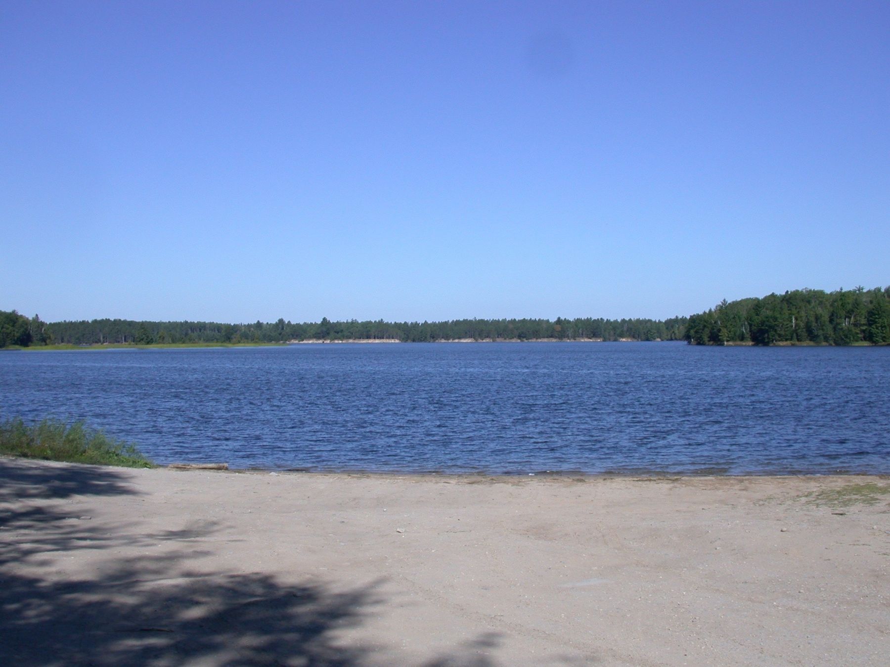
Where River Road ends at M-65, the land rises into another set of high sand bluffs, this time above Loud Dam Pond. Rollways sits on top of them, seven miles north of Hale, and is one of the oldest campgrounds in the Huron National Forest. Its picnic area and a short trail to the Westgate Scenic Overlook make it one of the easiest walks on the list.
A logging word for a high bank
In the lumber era, a rollway was a steep bank where logs were piled and then rolled down into a river to float downstream. The name fits these high banks above the Au Sable, which were river long before the dams turned this stretch into a pond. Standing at the top, it is easy to picture logs sliding down the slope to the water far below.
From the picnic area to the deck
A short trail links the Rollways picnic area to the Westgate Scenic Overlook, a deck built out over the pond at the west end of the River Road byway. From the deck the view runs down across Loud Dam Pond, a wide sheet of water ringed by forest, with the bluffs falling steeply beneath you. It is a fine place to watch for eagles and ospreys working the water.
Loud Dam Pond is one of the six reservoirs behind the hydro dams on the lower Au Sable, and the view from the deck shows how the dams turned a winding river into a chain of long, quiet ponds.
07ALSO WORTH THE DETOUR · River Road and the six Au Sable dams · stop 7Loud Dam on M-65The walk is short and mostly level along the top, but stay on the trail and behind the railings. The slopes are loose sand and erode quickly when people climb them. If you want to reach the water, use an established access point rather than scrambling down.
Seasons above the pond
The campground and picnic area keep a summer season, and services may be limited or closed at other times; check with the Forest Service before relying on water or toilets. Late spring and summer bring green forest and boats on the pond. October gives the best colour from the deck, and is also hunting season in the surrounding forest. In winter, access roads and lots may not be cleared.
Fitting Rollways into a longer outing
Allow about forty-five minutes for the walk to the deck and back, longer with a picnic. Park at the picnic area or, if you only want the view, at the overlook lot. Rollways is not on the five-walk short day; it sits farther out and pairs better with Hoist Lakes on a second outing.
You reach it from the Highbanks Trail by River Road and M-65. Next, continue north on M-65 for about fifteen minutes to the trailhead for Hoist Lakes. All ten walks are on the Huron National Forest tour page.
Every photograph here is credited, with its licence, on who took the photos.