Kiwanis Monument and the replanted pine
A roadside marker in the forest north of the Corsair trails remembers the volunteers and service clubs who helped turn cut-over, burned land back into pine.
- ALLOW
- About 20 minutes
- FROM OSCODA
- About 35 minutes west
- PARK OR STAND
- The roadside pull-off at the monument
- NEXT LEG
- North on Monument Road to River Road, about 15 minutes
- BEST MONTHS
- May to October
- BRING
- Camera, water, a short walk's patience
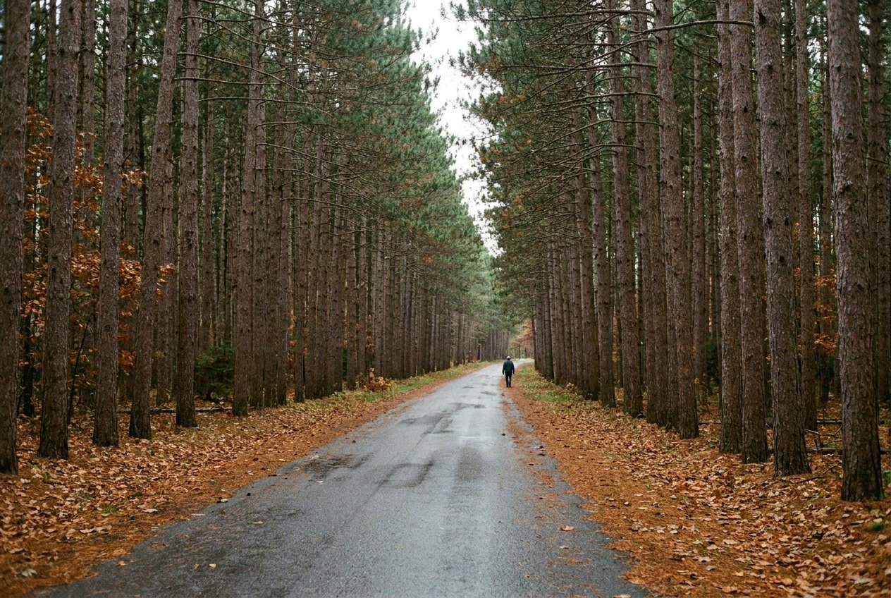
Some stops on this tour are about distance. This one is about time. Kiwanis Monument stands beside Monument Road just north of Kokosing Road, a Forest Service marker in the middle of the pine, and it explains much of what you have been walking through on the other stops.
Who the marker remembers
By the end of the lumber era, large parts of northern lower Michigan had been cut over and then burned. Where pine forest had stood there were stumps, slash and open sand. Bringing trees back took decades of work, and much of it was not done by government alone. Private citizens and Kiwanis clubs raised money, gave time and helped plant pine on the cut-over and burned lands.
The monument honours that effort. It is a modest site, and you will not need long to read it, but look up from the marker at the forest around you. Straight rows of red pine are a sign of planting, and in this part of the national forest they are everywhere.
Reading a planted forest
Once you know what to look for, the history of the land shows in the trees. Planted stands tend to be even in age and spacing, with trunks lined up like a grid and little growing beneath them. Natural stands are more mixed: oak, aspen and pine of different heights, with gaps where an old tree has fallen. Driving Monument Road, you pass both, and the change from one to the other is easy to spot.
09ALSO WORTH THE DETOUR · Mio and the upper river · stop 9The Mack Lake burn and the warbler that came backThe same forest keeps changing. Some planted stands are thinned or harvested, others burn or are replanted again. The monument marks a beginning rather than a finished job.
It also explains the name of the road. Monument Road takes you north through this replanted forest from the Tawas side to River Road, and the drive is a good way to see how much of the landscape between the bay and the Au Sable is young, managed pine rather than old growth.
Open all year, but not always reachable
The site is open all year. Monument Road, however, is not plowed in winter, so the monument is a summer and autumn stop unless you come on skis or snowshoes. Late spring through October is the practical window, and October colour in the oaks along the road makes the drive part of the visit. Hunting season runs through the autumn months; if you walk into the pines from the road, wear something bright.
Twenty minutes in the short day
Allow about twenty minutes. Park in the pull-off beside the monument, well clear of the road, and walk a few yards into the trees if you want to see the planted rows close up. There are no facilities.
This is the fourth of the five short-day walks, between the Corsair trails a few minutes south and the Highbanks Trail, where Monument Road meets River Road on the bluffs above the Au Sable. The rest of the list is on the forest walks tour page.
Every photograph here is credited, with its licence, on who took the photos.