Ten walks in the Huron National Forest
The national forest begins at the edge of Oscoda. These ten walks run from river loops ten minutes away to roadless lake country about an hour out, to pick from or link together.
- FROM OSCODA
- About 10 to 70 minutes
- BEST SEASON
- Late spring through October colour
- GETTING THERE
- River Road, Monument Road, M-65, M-33, M-72
- BRING
- Water, map, tick repellent, bright layer in autumn
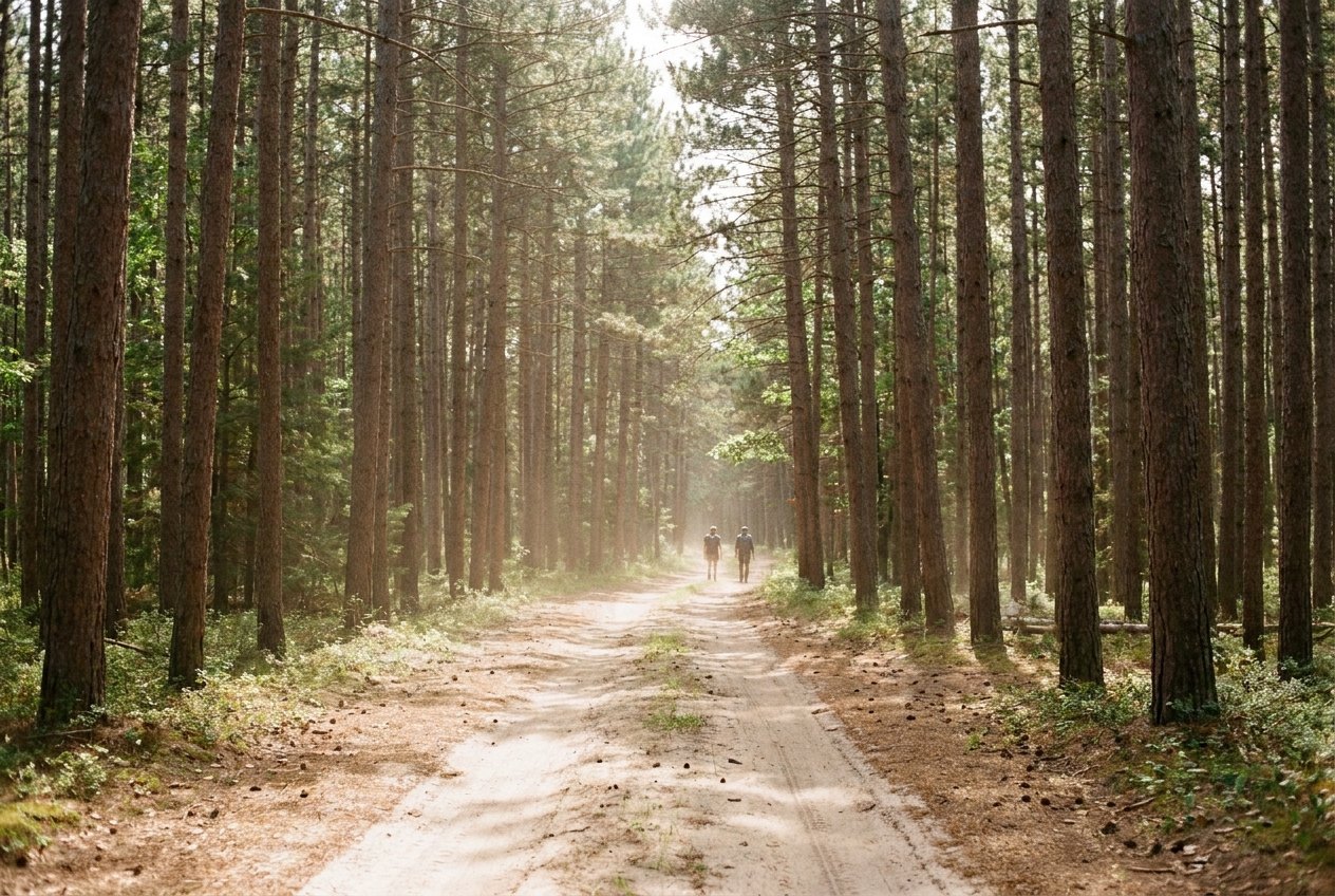
Most visitors meet the Huron National Forest through a car window. It wraps around Oscoda and most of the Au Sable valley, a long belt of red pine, jack pine, oak and aspen broken by lakes, marshes and the high sand bluffs above the river's dam ponds. The way to know it is on foot, and you do not have to go far to start.
This tour is different from the others on the site. It is not one continuous drive but a pick-list of ten walks and trails, from about ten minutes to a little over an hour from the US-23 bridge over the Au Sable in Oscoda. The stops are sorted so that neighbours sit together and you can string several into a long day, or take one on a free afternoon and come back for the rest.
A forest that starts at the town line
Much of this country was cut over and burned in the lumber era, then replanted and allowed to regrow. The walks here show that recovery from different angles: rows of planted pine along a forest road, a wetland managed for waterfowl, ski trails through rolling hills, bluffs that look out over water held back by hydro dams, and two large areas where motors, bikes and horses are kept out altogether.
None of them asks much in the way of skill. Some are short loops you can finish in under an hour; others run for miles and let you turn around wherever you like. What they share is quiet. Away from the river on a summer weekend you can walk a long way without meeting anyone.
Away from the river on a summer weekend you can walk a long way without meeting anyone.
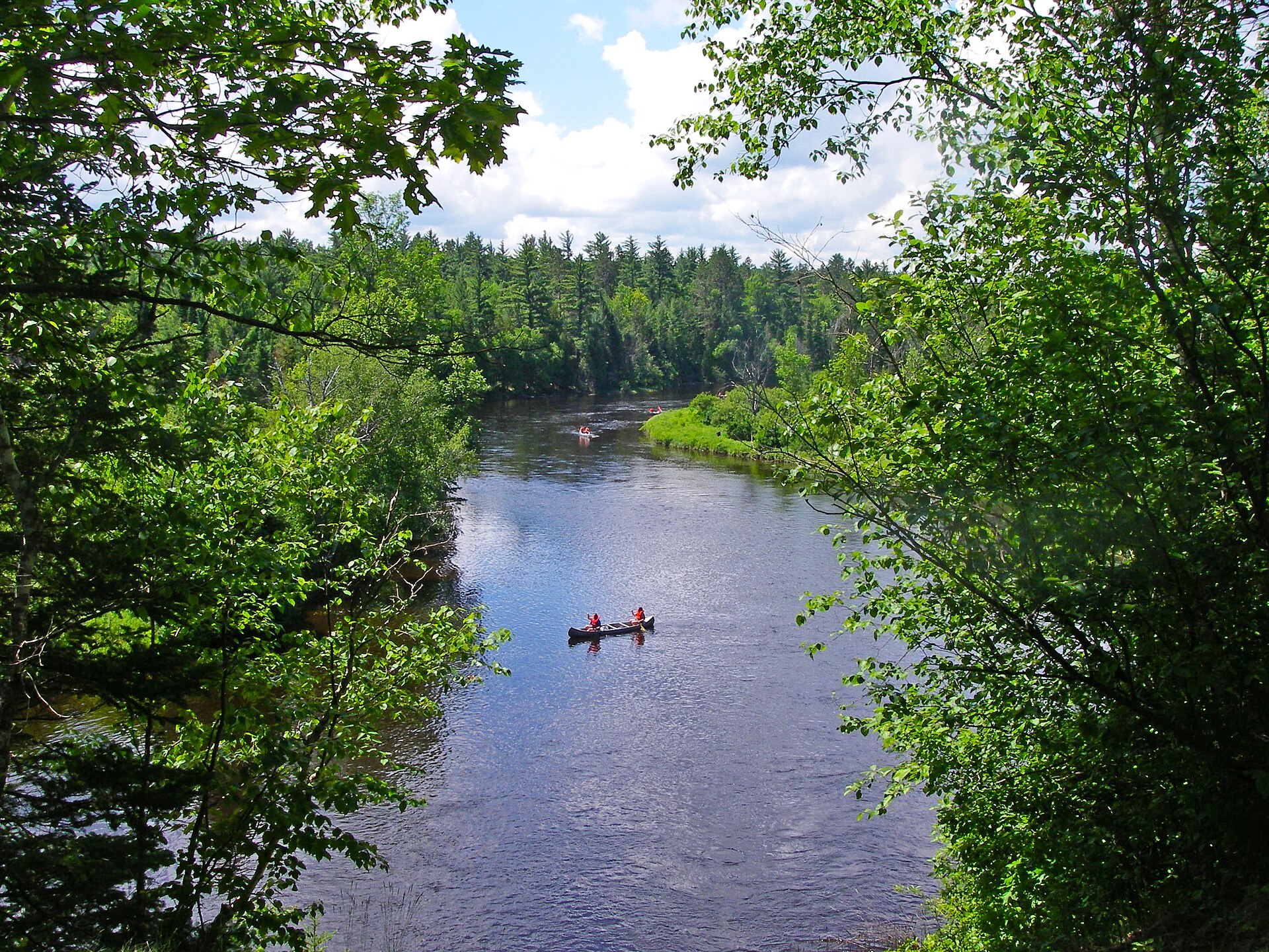
The ten, from nearest to farthest
- Eagle Run, a set of loops on the south shore of the lower Au Sable, nearly half of them by the river.
- The east end of the Shore-to-Shore Trail, the riding and hiking route that crosses Michigan.
- Tuttle Marsh Wildlife Area, a wetland of dikes and open water south of Oscoda.
- The Corsair trails, a large network of ski, hiking and biking loops north-west of Tawas City.
- Kiwanis Monument, a roadside marker to the people who helped replant the pine.
- The Highbanks Trail, about seven miles along the bluffs above Cooke Pond.
- Rollways and the Westgate overlook, on a bluff above Loud Dam Pond.
- Hoist Lakes Foot Travel Area, almost 10,000 acres without motors, bikes or horses.
- Island Lake and Loon Lake, a short loop through kettle lakes north of Rose City.
- Reid Lake Foot Travel Area, rolling non-motorized forest off M-72.
The first two sit just west of town. Stops three to six form a loop: south to the marsh, north-west up Monument Road past the Corsair trails and the Kiwanis marker, and out onto River Road at the Highbanks. Rollways and Hoist Lakes lie up M-65 beyond the dam ponds. Island Lake is the long reach west, and Reid Lake sits on the road home through Harrisville.
If you only care about the river, pair this tour with the River Road tour, which covers Lumberman's Monument, Iargo Springs and Au Sable Vista. They are left out here so the two trips do not overlap, although the Highbanks Trail passes the first two.
02ALSO WORTH THE DETOUR · Tour 2River Road and the six Au Sable damsFive walks before lunch
For half a day, keep to the loop closest to town: Eagle Run, Tuttle Marsh, the Corsair trails, Kiwanis Monument and the Highbanks Trail. That gives you the river at its widest, a wetland full of birds, a taste of the ski hills, the story of the replanting and the best view on the tour, with no stretch of driving longer than about half an hour.
Walk one short loop at Eagle Run, give the marsh time with binoculars, pick a single loop at Corsair, stop at the monument, then walk a mile or two of the Highbanks and drive River Road back to Oscoda.
Trail sense and the seasons
Late May through October is the easy time. Spring brings migrating birds to the marsh and wildflowers to the forest floor, though the first warm weeks also bring biting insects. Summer is the season for the lakes at Island Lake and the foot travel areas. Early October lights up the oaks, maples and aspen, and it is the most popular time for the bluffs.
Autumn is also hunting season across the national forest. Wear something bright, keep dogs close, and walk marked trails. Ticks are active from spring into autumn, so check yourself after walks through grass. Carry water on every walk, since most trailheads have none, and bring a printed map: phone signal fades quickly away from the main roads.
Winter changes the list. Eagle Run, Corsair and Reid Lake become ski trails, and Corsair is groomed. Some forest roads, including the one past Kiwanis Monument, are not plowed. Rules, parking passes and the state of facilities change from year to year, so check with the Forest Service before you set out, especially for the Shore-to-Shore trail camp and the Hoist Lakes trailheads.
Driving out and getting back
Everything here is measured from the US-23 bridge in Oscoda. Eagle Run is about ten minutes away, the Monument Road group about half an hour, Rollways and Hoist Lakes nearer an hour, and Island Lake a little longer. Doing all ten in one day is possible only if you keep each walk short; most people split the list over two or three outings.
From the Highbanks, River Road runs straight back east to Oscoda in about twenty-five minutes. From the far end of the list, M-72 leads east past Reid Lake to Harrisville, and US-23 brings you south along Lake Huron to the bridge in a little under an hour.
Every photograph here is credited, with its licence, on who took the photos.
The ten stops
In the order you reach them.
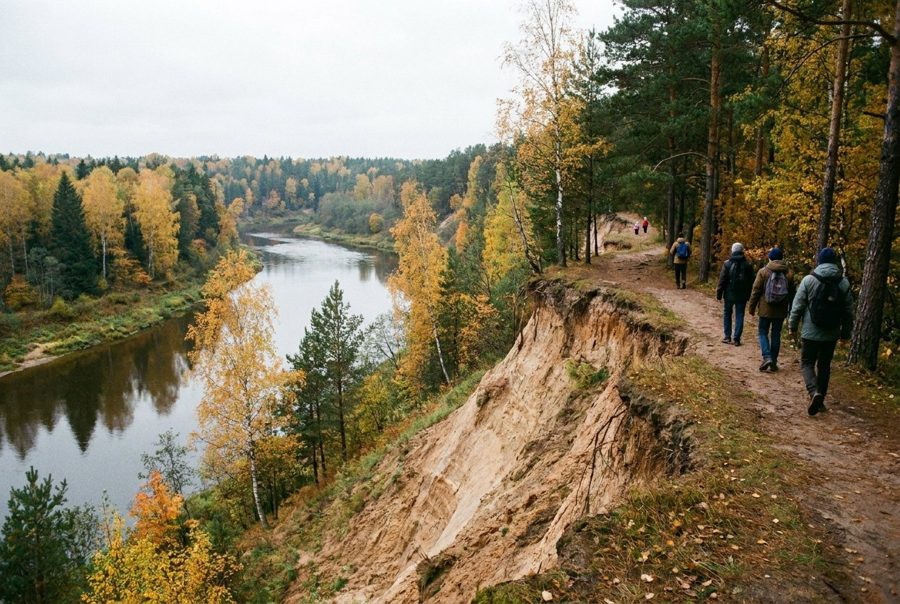
Eagle Run, the river loops at the edge of town
The first walk of the tour is the closest: about seven miles of looped forest trail on the south bank of the lower Au Sable, nearly half of it within sight of the river.
In the short day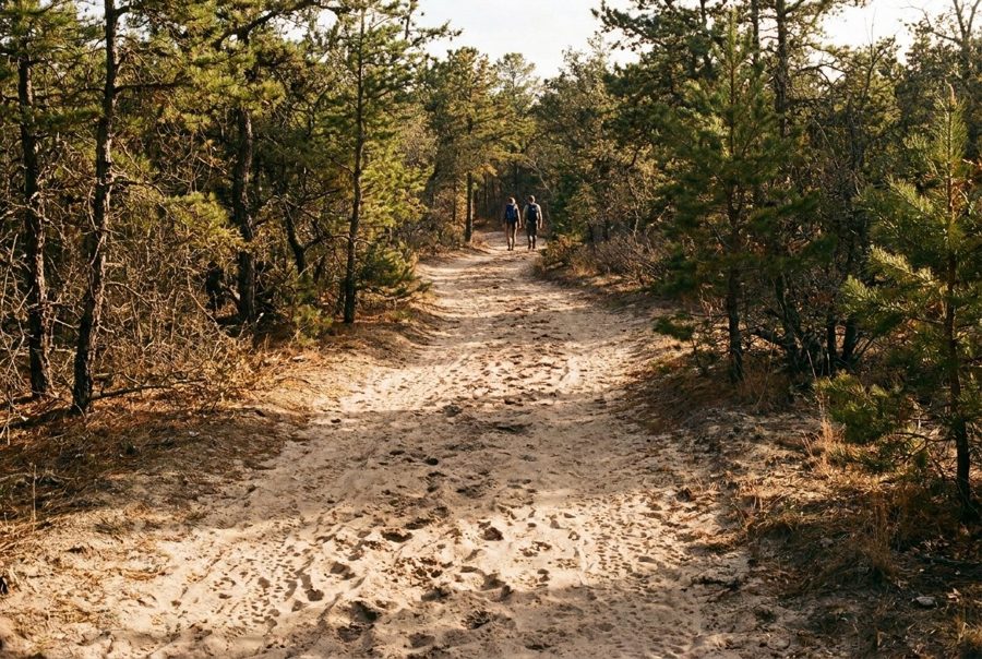
Where the Shore-to-Shore Trail meets Lake Huron
A riding and hiking trail crosses the whole of lower Michigan and ends just south of Oscoda. Its forest trailhead west of town is a place to walk a short piece of a very long route.
Tuttle Marsh, a wetland worked for wildlife
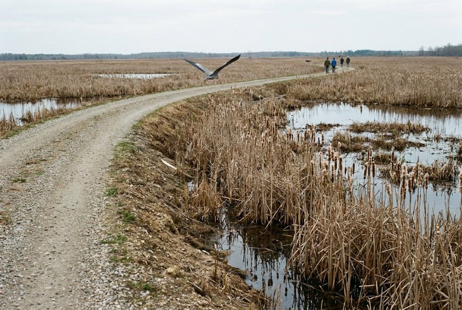
South of Oscoda a gravel road runs into a wide wetland of dikes, cattails and open water, where ospreys hunt, herons stand in the shallows and rails call from cover.
In the short day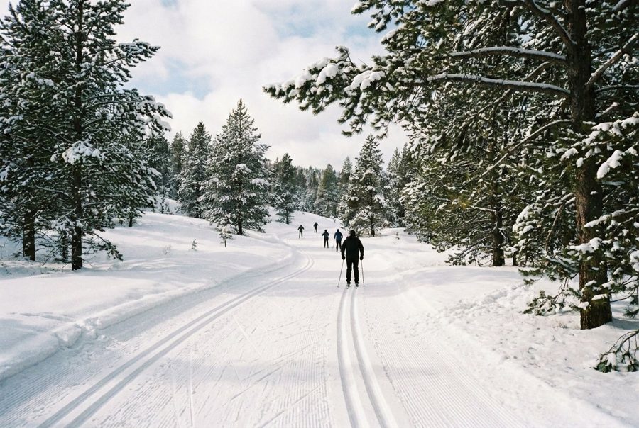
The Corsair trails in the Silver Valley hills
On Monument Road north-west of Tawas City, about 26 miles of connected loops climb through hills and pine, a ski network in winter and a walking and biking network the rest of the year.
In the short day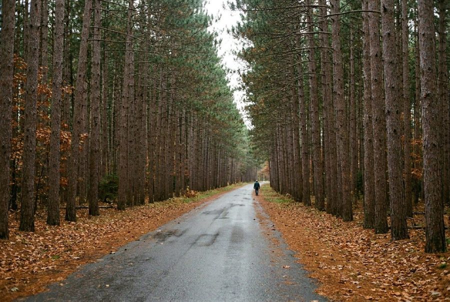
Kiwanis Monument and the replanted pine
A roadside marker in the forest north of the Corsair trails remembers the volunteers and service clubs who helped turn cut-over, burned land back into pine.
In the short day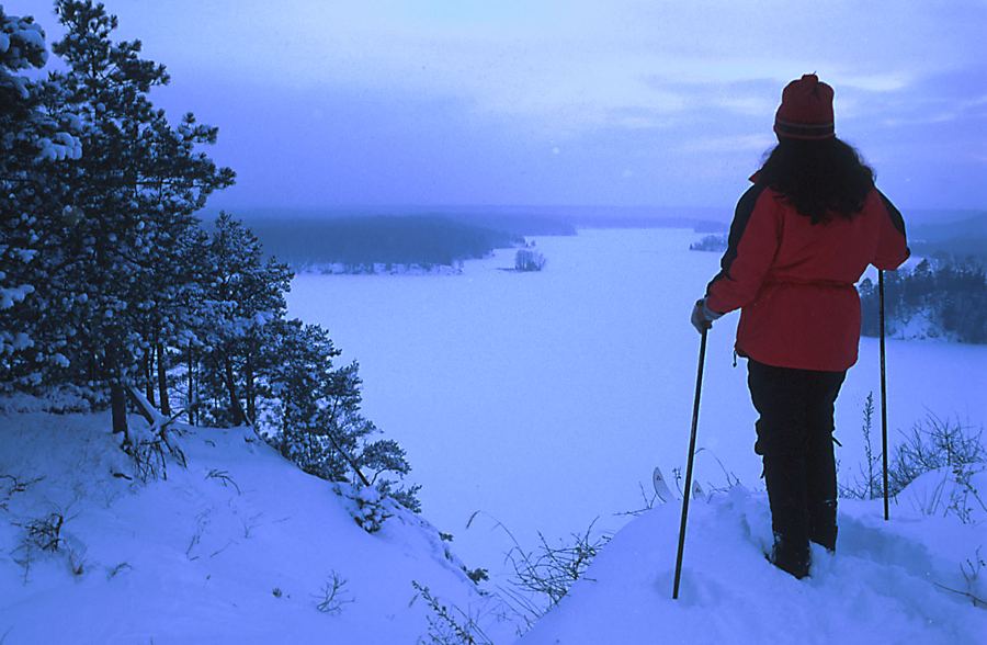
The Highbanks Trail along the Au Sable bluffs
High above Cooke Pond, a trail of about seven miles follows the rim of the Au Sable's sand bluffs, linking some of the river's best-known landmarks with long, open views.
In the short day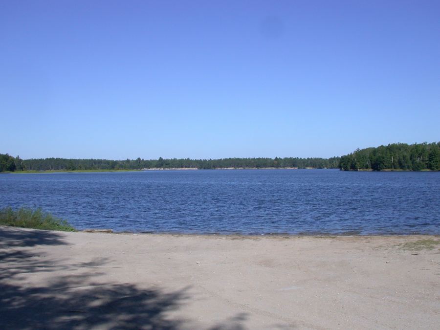
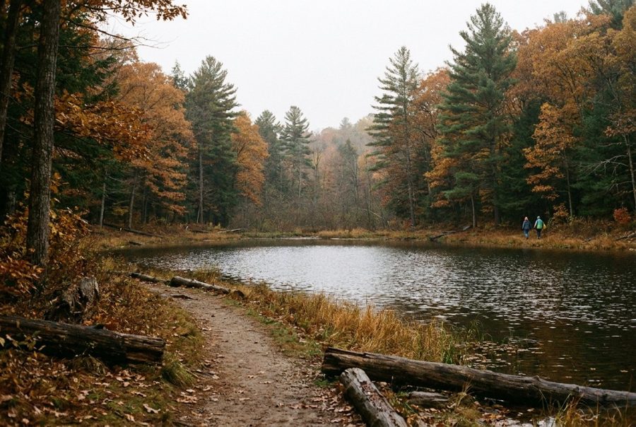
Rollways and the Westgate deck over Loud Dam Pond
North of Hale, an old forest campground sits on a bluff above Loud Dam Pond, and a short trail leads from its picnic area to a viewing deck at the west end of River Road.
Hoist Lakes, where only feet are allowed
Almost 10,000 acres of pine, aspen and hardwood south of Glennie are closed to motors, bikes and horses, with looped footpaths to three small forest lakes.
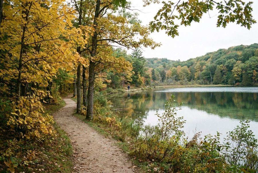
Island Lake and Loon Lake in kettle country
North of Rose City, a short loop of about a mile and a quarter winds between small glacial lakes, with a swimming beach at the start and a spur to a second lake.
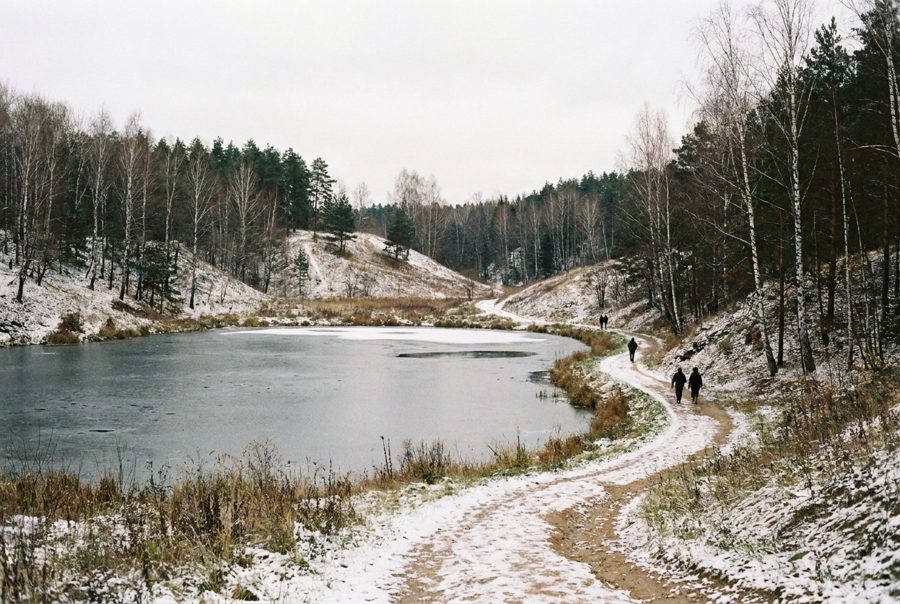
Reid Lake, the last quiet loop
West of Harrisville on M-72, a little over 3,000 acres of rolling forest are set aside for walkers and skiers, with trails around two lakes and a few backcountry campsites.