The Highbanks Trail along the Au Sable bluffs
High above Cooke Pond, a trail of about seven miles follows the rim of the Au Sable's sand bluffs, linking some of the river's best-known landmarks with long, open views.
- ALLOW
- About 1 to 3 hours
- FROM OSCODA
- About 25 minutes west
- PARK OR STAND
- The Lumberman's Monument lot or another River Road access
- NEXT LEG
- West on River Road, then north on M-65, about 25 minutes
- BEST MONTHS
- May, June, September, October, winter
- BRING
- Water, binoculars, sturdy shoes, bright layer in autumn
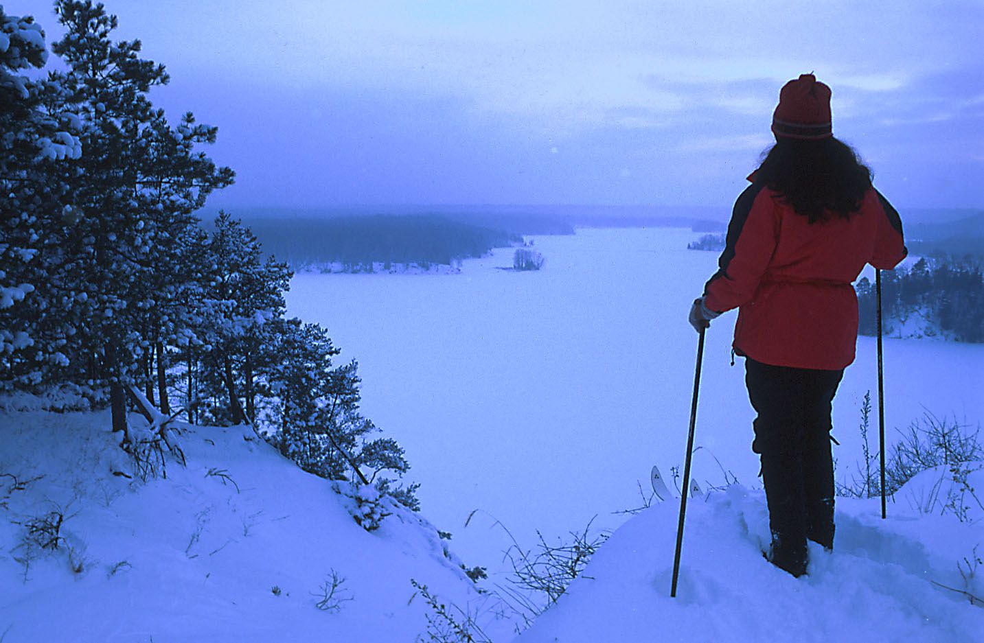
The Au Sable has cut deep into the sand here. Along the north side of the river, bluffs rise well above the water of Cooke Pond, and the Highbanks Trail runs along their rim. It is a point-to-point trail of about seven miles, from Iargo Springs past the Canoer's Memorial and Lumberman's Monument to Sawmill Point, and it gives the longest views on this tour.
Along the rim above Cooke Pond
For much of its length the trail keeps close to the edge of the bluff, where the pines thin and the land drops away to the pond. Look out and you see the river's broad, dammed water, wooded far shores and long bends of the valley. Bald eagles nest in this stretch of the valley, and on a clear day you may see one gliding at eye level below the bluff.
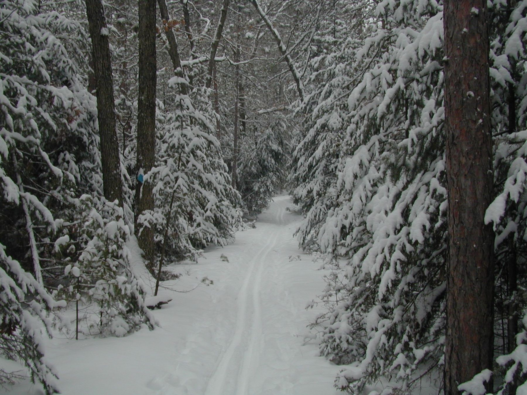
Because the trail is a line, not a loop, you choose a section and walk out and back, or arrange a car at each end. The busiest landmarks along it, Lumberman's Monument and Iargo Springs, are covered on the River Road tour; here they serve as starting points rather than destinations.
Picking your section
04ALSO WORTH THE DETOUR · River Road and the six Au Sable dams · stop 4Canoer's Memorial and the marathonThe simplest start is the Lumberman's Monument area, roughly in the middle of the trail. Walk east or west along the bluff for a mile, enjoy the views and come back the same way, and you have seen the Highbanks at their best in about an hour. For a fuller day, walk the whole route one way.
Before starting from the Iargo Springs end, check access with the Forest Service: work on the site has been reported, and parking or stairs may be closed for a time. Stay back from the edge everywhere. The bluffs are loose sand, they crumble underfoot, and climbing the slopes damages them.
Keep children and dogs close on the rim, where the drop is steep and the trail sometimes runs within a few steps of it.
Bluff weather
Spring and early summer bring green forest and nesting eagles, along with insects. Summer afternoons can be hot on the open rim, so carry water. October is the most popular time, when the oaks and maples below the bluff turn and the view across Cooke Pond is at its most colourful; it is also hunting season in the forest around you, so wear something bright. In winter the trail is used for skiing and snowshoeing, and the frozen pond under a grey sky has its own stark beauty. Camping along the trail is allowed only at designated sites.
Where the short day finishes
Give it an hour for a short out-and-back, three for a long section. The Highbanks are the fifth and last walk of the short day: from here River Road runs straight back east to Oscoda in about twenty-five minutes.
On the full list you arrive from Kiwanis Monument by Monument Road, and the next stop is Rollways and the Westgate overlook, about twenty-five minutes west and north.
Every photograph here is credited, with its licence, on who took the photos.