Mio and the upper river
An hour west of Oscoda the Au Sable changes character: free-flowing below Mio, a county seat on its pond, quiet bridges upstream and jack pine plains that a rare songbird depends on.
- FROM OSCODA
- About an hour west
- BEST SEASON
- Late May through early October
- GETTING THERE
- West from Oscoda, mostly on M-72
- BRING
- Full tank, printed map, binoculars, insect repellent, layers
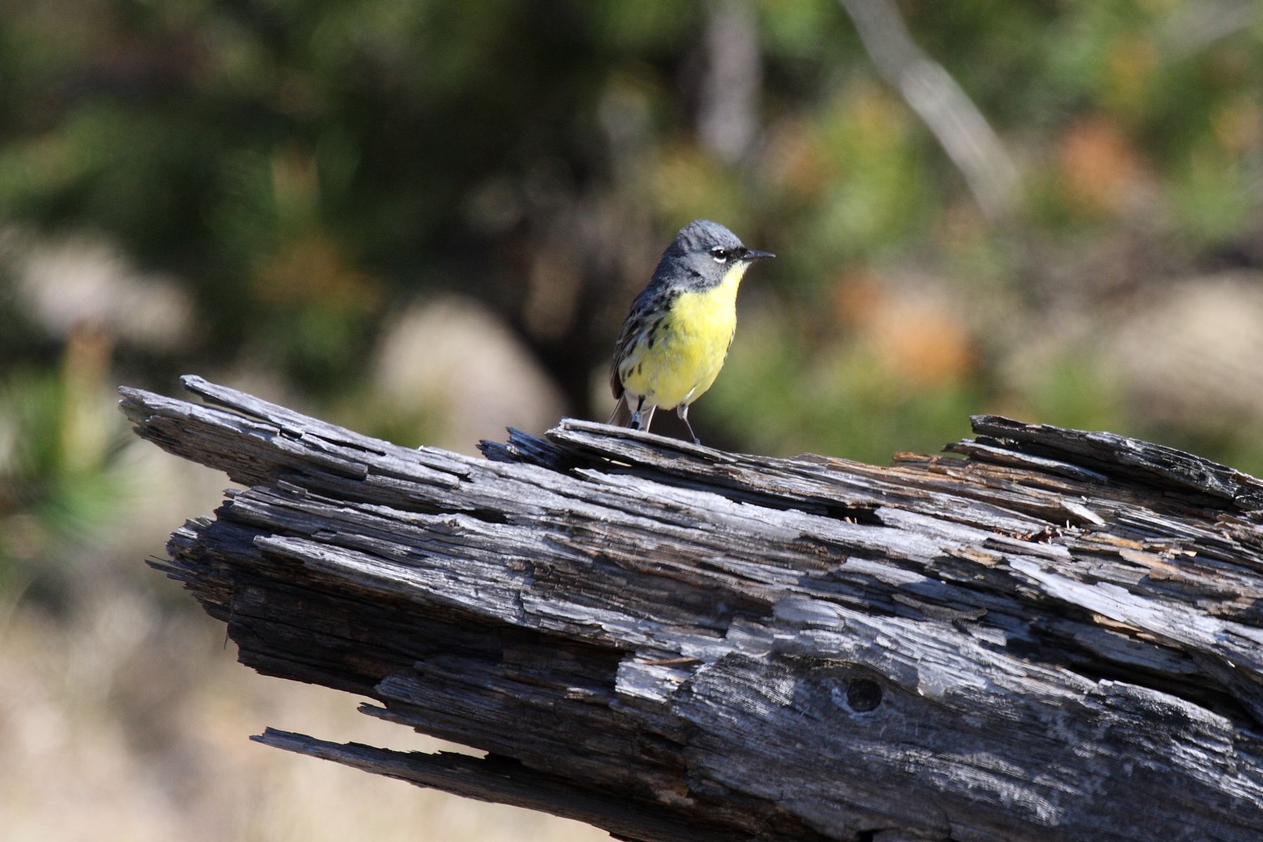
In Oscoda you meet the Au Sable at the end of its run, wide and slow as it slides into Lake Huron. Drive about an hour west and the same river is a different animal. Below Mio it runs free and clear through the Huron National Forest; above town it narrows into the cold, gravel-bottomed water that anglers travel across the country to fish. Around it lie miles of jack pine on sandy plains, a landscape that looks plain at first glance and turns out to hold one of the rarest songbirds in North America.
This tour spends a day in that country. It starts on the scenic river, works through Mio itself, follows the river upstream past three bridges and ends in the pine plains south of town.
A county seat at the top of the dams
Mio was founded in 1881 and is the seat of Oscoda County. It sits on the Au Sable inside the Huron National Forest, with more trees than people in every direction. The town has one odd distinction: Michigan's record high temperature, 112 degrees Fahrenheit, was set here on July 13, 1936.
The river at Mio is held back by the last of the six hydro dams. Mio Dam closes the River Road tour, so this trip picks up where that one stops. Below the dam the Au Sable becomes the Au Sable National Scenic River, 23 miles of water with no dams at all, down to Alcona Pond. Above the pond, the river belongs to bridges, state forest landings and the long stretch of trout water toward Grayling.
From the scenic river to the far bridge and back
The stops run in the order you reach them from Oscoda.
- The Gabions, a forest day-use site on the scenic river, named for the wire baskets of rock along its bank.
- Bull Gap, an open hill east of Mio with a clearing proposed as a dark sky park.
- Oscoda County Park, on the south shore of Mio Pond.
- Our Lady of the Woods Shrine, a stone shrine built by the people of Mio in the 1950s.
- The courthouse square, where the 1888 wooden courthouse stood until 2016.
- Camp Ten Bridge, at the head of Mio Pond.
- Parmalee Bridge, a state forest campground between Luzerne and Lewiston.
- McMasters Bridge, a state launch in Crawford County and the farthest point upriver.
- The Mack Lake burn, jack pine country regrown after the fire of 1980.
- Ruffed Grouse Walk, a short forest interpretive trail south-east of Mio.
The first two stops sit on county and forest roads south of the river. Stops three to five are all in Mio and can be walked or driven in a few minutes. From Camp Ten the route heads west along M-72 and side roads to the two upper bridges, then turns back east and south into the pine plains for the last two. Phone signal is patchy away from town, and several forest roads are sand or gravel, so carry a printed map.
08ALSO WORTH THE DETOUR · Tour 8Grayling, Hartwick Pines and the head of the river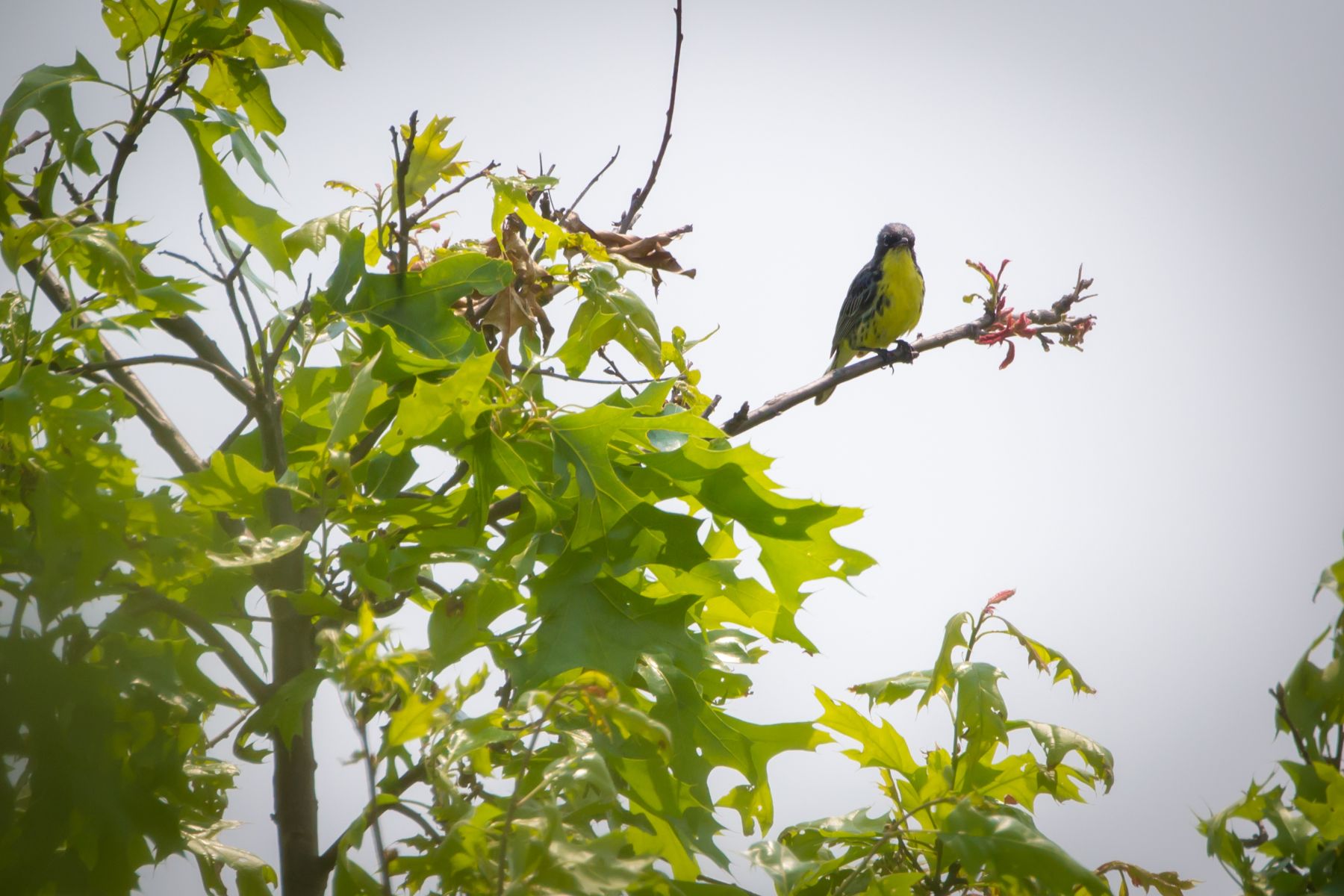
Mio in a morning: the five-stop version
With half a day, skip the far ends of the tour and keep to the middle. Bull Gap, Oscoda County Park, the shrine, the courthouse square and Camp Ten Bridge all lie within a few miles of the M-33 and M-72 junction. That gives you the open hill, the best view over Mio Pond, the town's two most personal landmarks and a quiet crossing where the pond begins. Allow about three hours there, plus the drive each way.
The short day leaves out the scenic river, the upper bridges and the jack pine plains, which are the slower, wilder parts of the trip. If you come back another time, those five make a good second outing on their own.
That gives you the open hill, the best view over Mio Pond, the town's two most personal landmarks and a quiet crossing where the pond begins.
Warbler weeks, river summers and sand-road autumns
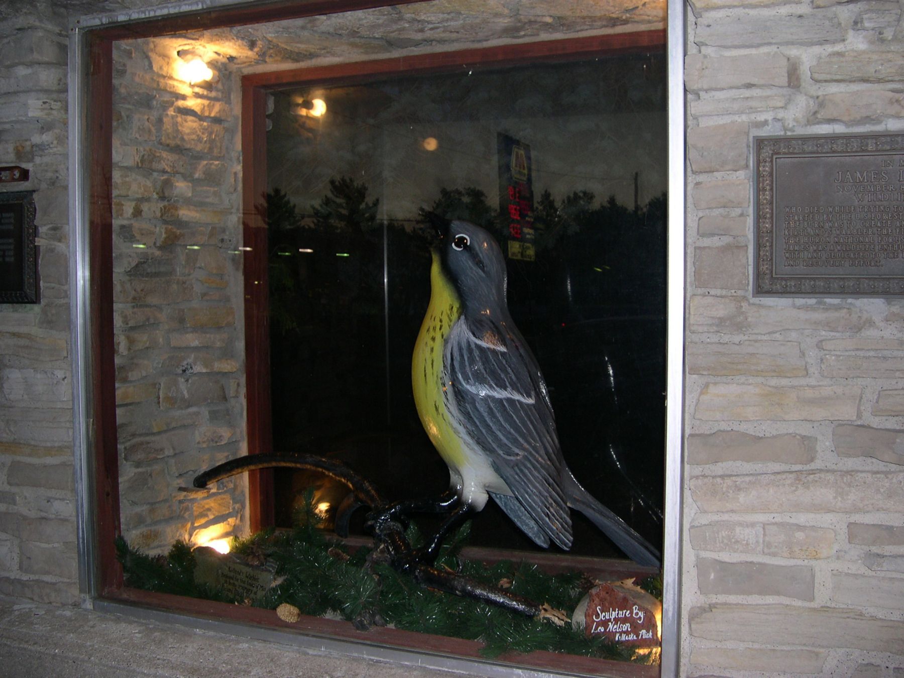
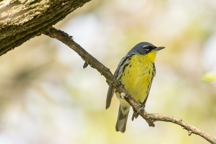
Late May and June are the season many visitors come for. The Kirtland's warbler, a small grey and yellow songbird that nests on the ground under young jack pine, returns from its winter in the Bahamas and the males sing from the treetops. The bird came close to disappearing in the 20th century and recovered because its habitat is managed on purpose, with jack pine cut and replanted in blocks so there is always young forest somewhere. Nesting areas are closed to entry during the season; watch for signs and stay out.
Summer brings paddlers, anglers and campers to the river, and the county park and state forest campgrounds fill on warm weekends. Early October puts colour into the oaks and aspen among the pines. Winter is quiet. Mio's main roads are kept open, but forest roads and trailheads are not plowed, and the stairs down to the river at the landings can be icy well into spring.
Heading out and coming home
From the US-23 bridge in Oscoda, Mio is about an hour west, mostly on M-72. The full ten stops make a long day, with the drive out to McMasters Bridge the longest single leg. From the last stop, the quickest way home is back through Mio and east on M-72 to Harrisville, then south along Lake Huron on US-23 to Oscoda, a little over an hour. If you prefer to follow the river down, the River Road tour makes the return its own trip, dam by dam, all the way to the lake.
Every photograph here is credited, with its licence, on who took the photos.
The ten stops
In the order you reach them.
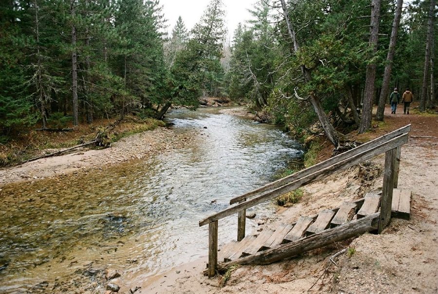
The Gabions, where wire baskets hold the bank
The first stop puts you beside the Au Sable National Scenic River, a forest site named for the rock-filled baskets laid along its bank, with a small spring trickling out at the edge.
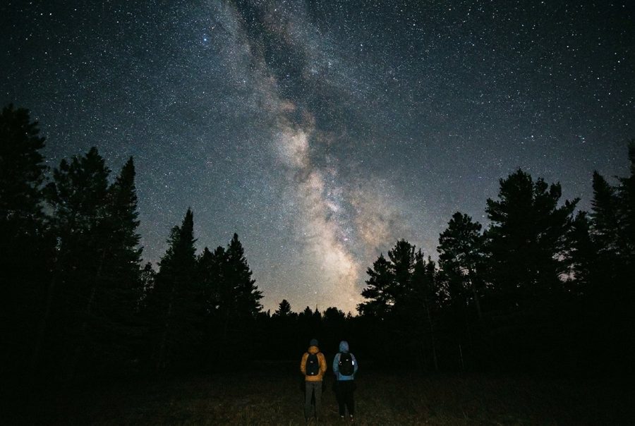
Bull Gap and the dark sky over it
East of Mio, a sandy hill draws off-road riders by day, while the clearing at its foot has been put forward as an international dark sky park for the stars overhead.
In the short day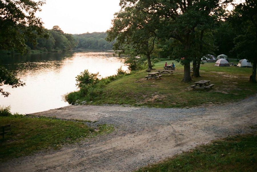
Oscoda County Park and the view over Mio Pond
On the south shore of the pond behind Mio Dam, the county's own park gives you the widest look at the river in town, a few steps from the main highway junction.
In the short day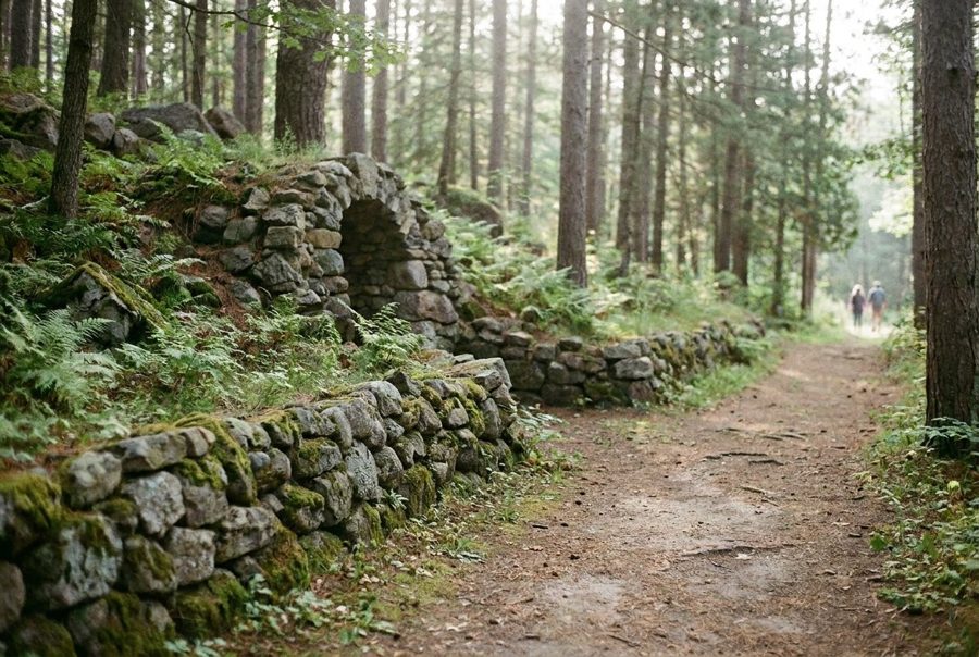
Our Lady of the Woods Shrine, built stone by stone
In the middle of Mio stands a shrine of stacked fieldstone, grottos and niches, raised by local hands in the 1950s, with ponds that stand for a waterfall and the Au Sable River.
In the short day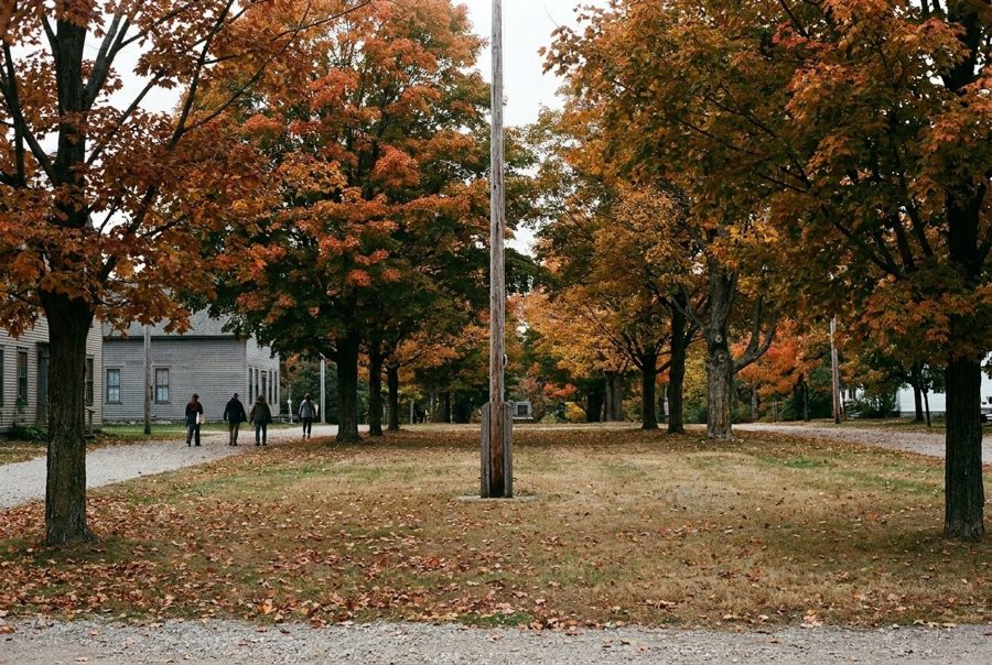
Mio's courthouse square, after the old courthouse
For more than a century Mio's county business ran from a modest wooden courthouse built in 1888. A fire in 2016 ended that, and a new government center now carries on the job.
In the short day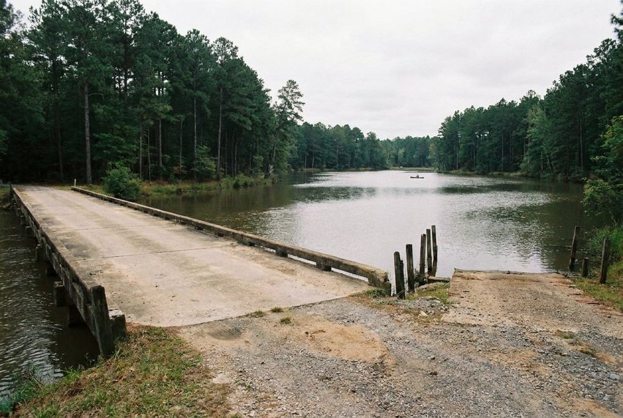
Camp Ten Bridge at the head of Mio Pond
West of Mio, a county road bridge marks the point where the Au Sable stops being a river and starts being a pond, with boat launches on both banks and trout water upstream.
In the short day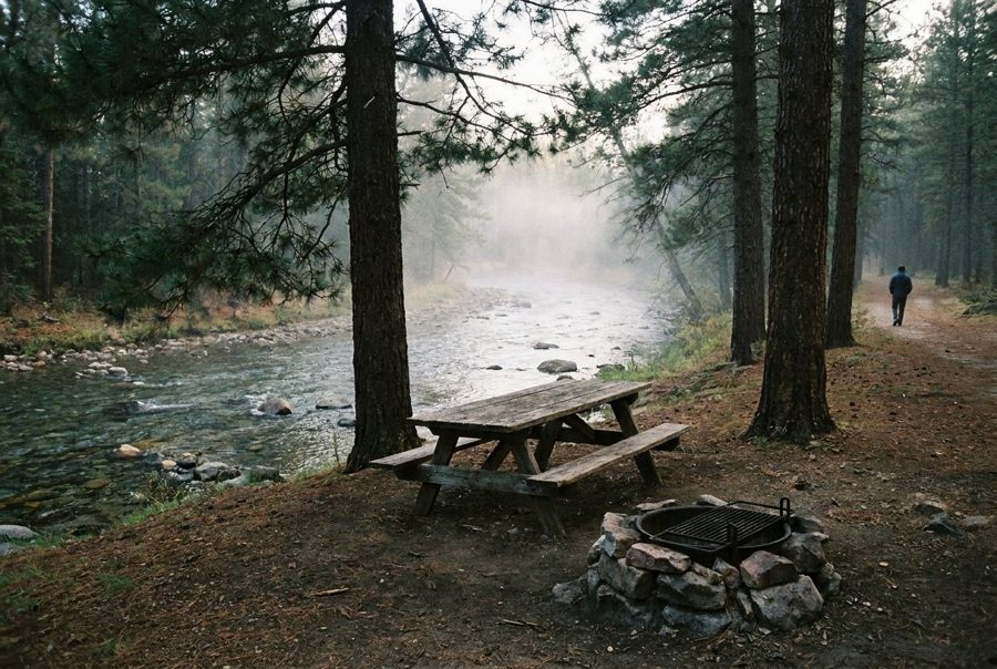
Parmalee Bridge and the stairs to the river
Between Luzerne and Lewiston, a small state forest campground sits above the main Au Sable, with a set of stairs leading down to a carry-in launch on cold, clear trout water.
McMasters Bridge, the turning point upriver
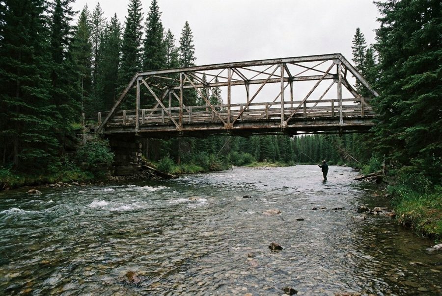
The tour reaches its farthest point in Crawford County, at a state launch beside McMasters Bridge on the main Au Sable, about halfway between Mio and Grayling.
The Mack Lake burn and the warbler that came back
South of Mio, the jack pine plains carry the story of a 1980 fire that went wrong, and of the rare songbird that later found its best nesting ground in the forest that regrew.
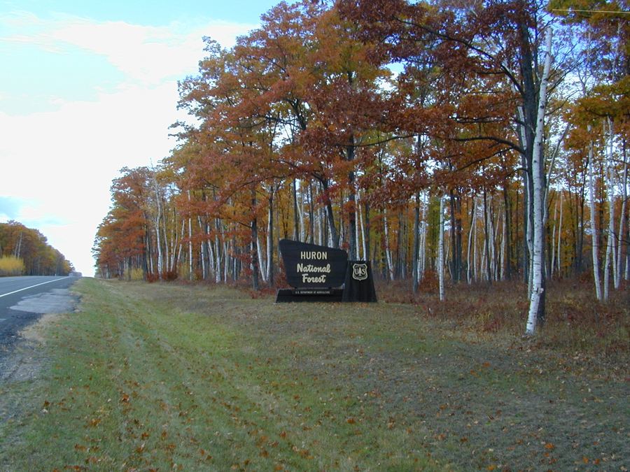
Ruffed Grouse Walk, the last mile of the day
The tour ends on foot, on a short Forest Service trail through the young, thick woods where ruffed grouse live, before the drive back east to Lake Huron.