Grayling, Hartwick Pines and the head of the river
About an hour and forty minutes west of Oscoda, the Au Sable is a narrow trout stream running through a town named for a vanished fish, with old pines and a clear lake close by.
- FROM OSCODA
- About 1 hour 40 minutes west
- BEST SEASON
- June through early October
- GETTING THERE
- West through Mio, mostly on M-72
- BRING
- Full tank, printed map, walking shoes, layers, lunch
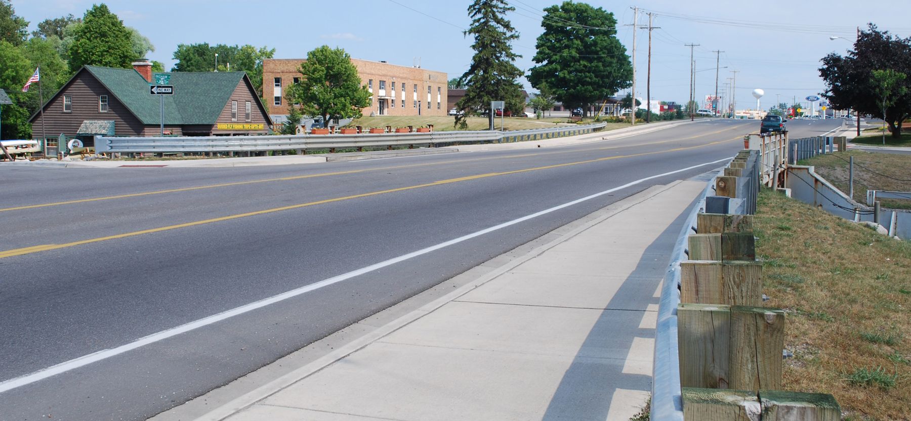
Everything on this site starts from the bridge in Oscoda, where the Au Sable empties into Lake Huron. This tour drives to the other end of that story. Grayling sits on the main branch of the river about 120 river miles upstream, and the water there is small, quick and cold, the kind you can almost throw a stone across. Each summer the Au Sable River Canoe Marathon leaves Grayling for Oscoda, and paddlers spend a night and most of a day covering the distance you cover in under two hours by car.
It is the longest drive of the eight tours, and it repays an early start. Around the town lie some of the best-known protected land in the northern Lower Peninsula: a family's gift of river frontage, a lake you can only walk to, a grove of white pine that the loggers never cut, and the first downhill ski hill in the state.
The far end of the Au Sable
Grayling took its name from a fish. The Arctic grayling, a trout relative with a tall, sail-like back fin, once filled this river, and anglers came by train to catch it. Logging silted the streams, trout were stocked in its place, and the grayling had vanished from Michigan by 1936. The town kept the name. The river kept its reputation, and the stretch east of town is still one of the most famous trout waters in the Midwest.
The people who ran the logging camps also left their mark here more directly. The Hartwick Pines grove survived because one family gave it away, and a logging museum stands beside it. A few miles south, at Higgins Lake, a state museum tells how the Civilian Conservation Corps replanted the cutover land in the 1930s.
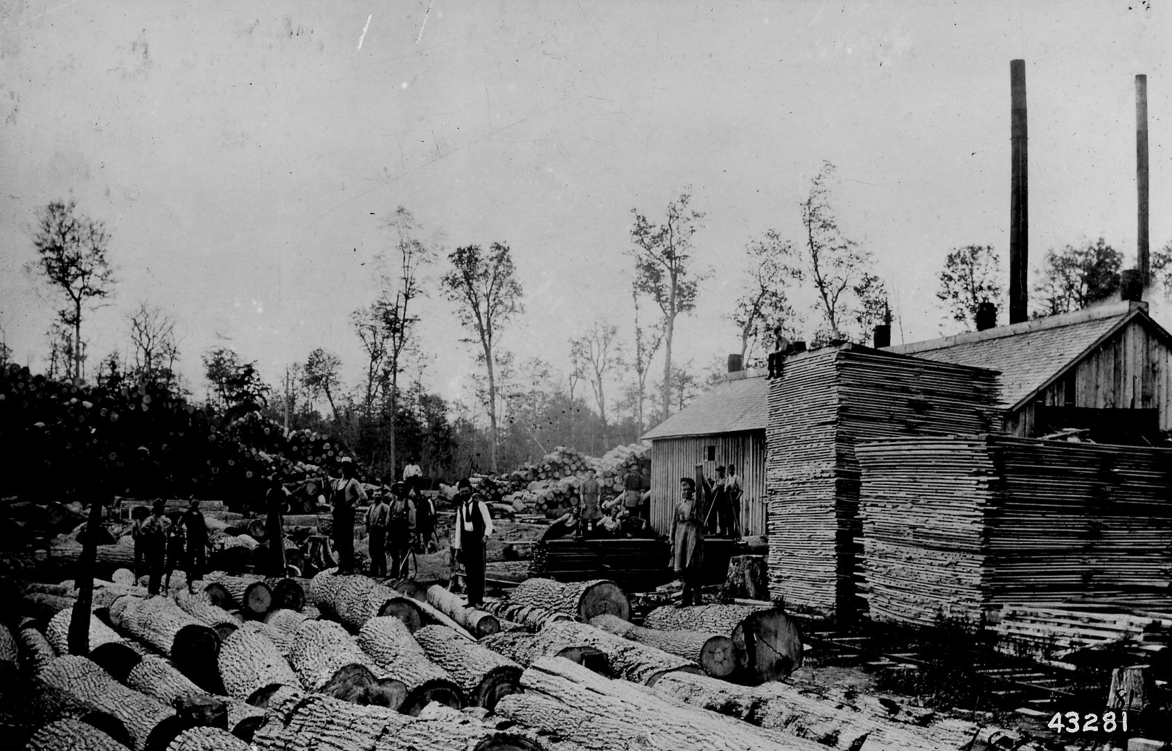
Ten stops along M-72 and south to Higgins Lake
The stops run in the order you reach them coming west from Oscoda.
- The Mason Tract, protected land along the South Branch with a small chapel built for anglers.
- Wakeley Lake, a walk-in area in the Huron National Forest where loons nest.
- Stephan Bridge, a state access on the main river east of town.
- Downtown Grayling, where the canoe marathon starts.
- The Crawford County Historical Museum, in the old railroad depot.
- The old-growth grove at Hartwick Pines State Park.
- The Hartwick Pines Logging Museum, built by the Civilian Conservation Corps.
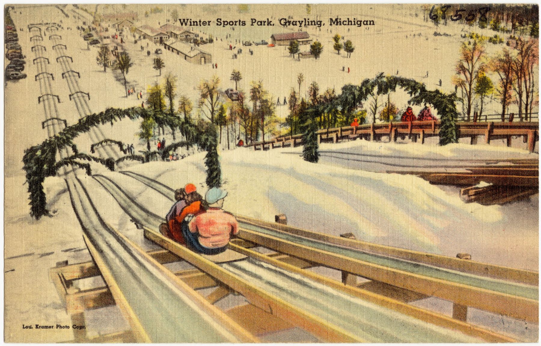
- Hanson Hills, the state's first downhill ski area.
- The Civilian Conservation Corps Museum at the old Higgins Lake Nursery.
- North Higgins Lake State Park, on one of the clearest lakes in Michigan.
The first three stops sit just off M-72 east of Grayling, so they slot naturally into the drive in. Stops four and five are a few blocks apart in town. Hartwick Pines lies a few miles north, and the last three run south from Grayling toward Higgins Lake. The full set is a long day; most people who do all ten either start at dawn or stay a night near Grayling and split it in two.
05ALSO WORTH THE DETOUR · Tour 5Mio and the upper riverFive stops if you start late
If you can only spare one day and do not want to drive home in the dark, keep to the middle of the tour. Downtown Grayling, the depot museum, the Hartwick Pines grove, the logging museum beside it and Hanson Hills all lie within about ten miles of one another. Together they tell the whole arc of the region in an afternoon: a river town, the railroad that built it, the forest that was cut, the few acres that were not, and the hill where people learned to ski once the trees were gone.
Allow about four hours for the five, plus the drive each way. The short version leaves out the Mason Tract, Wakeley Lake and Stephan Bridge, which are best enjoyed slowly, and the two Higgins Lake stops, which make a good separate outing from the south. If you plan to come back, the M-72 stops pair well with the upper river bridges on the Mio tour.
Together they tell the whole arc of the region in an afternoon: a river town, the railroad that built it, the forest that was cut, the few acres that were not, and the hill where people learned to ski once the trees were gone.
Old pines, cold water and snow trails
June through early October is the easy window. Summer brings paddlers and anglers to the river, swimmers to Higgins Lake and the steam-powered sawmill days at the logging museum. Late spring has the insect hatches that draw fly anglers from far away, and the loons back on Wakeley Lake, where parts of the shore are closed while they nest. Late September and early October bring colour to the maples and aspen around the pines, and the forest trails are at their best.
Winter is a different trip. Hanson Hills and Hartwick Pines have cross-country ski trails when there is snow, and the town is busy with skiers. The walk-in areas, river landings and forest roads are not plowed, and some museums close for the season, so check ahead before a winter visit. Fishing on parts of the river is under special rules; read the current Michigan fishing guide before you cast.
Leaving early, or staying the night
From the US-23 bridge in Oscoda, Grayling is about 1 hour 40 minutes west, mostly on M-72 through Mio. Leave early: the first stop is well over an hour away, and the best light on the river comes before mid-morning. From the last stop at Higgins Lake you have two ways home, each about two hours. One heads back north through Grayling and east on M-72 the way you came. The other runs east through Roscommon toward Lake Huron, then up the shore on US-23. If the ten stops feel like too much for one day, stay a night near Grayling and drive home along the river by way of the River Road tour.
Every photograph here is credited, with its licence, on who took the photos.
The ten stops
In the order you reach them.
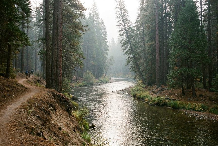
The Mason Tract, a riverbank left to the river
The first stop of the Grayling tour is a long, wild stretch of the South Branch of the Au Sable, kept free of building since 1954, with a small wooden chapel above the water.
Wakeley Lake, where you leave the car behind
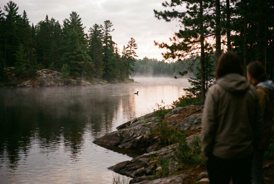
No motors and no cars beyond the gate: Wakeley Lake is about 2,000 acres of Huron National Forest that you explore on foot, with nesting loons and a long loop trail around the water.
Stephan Bridge, on the river's upper reach
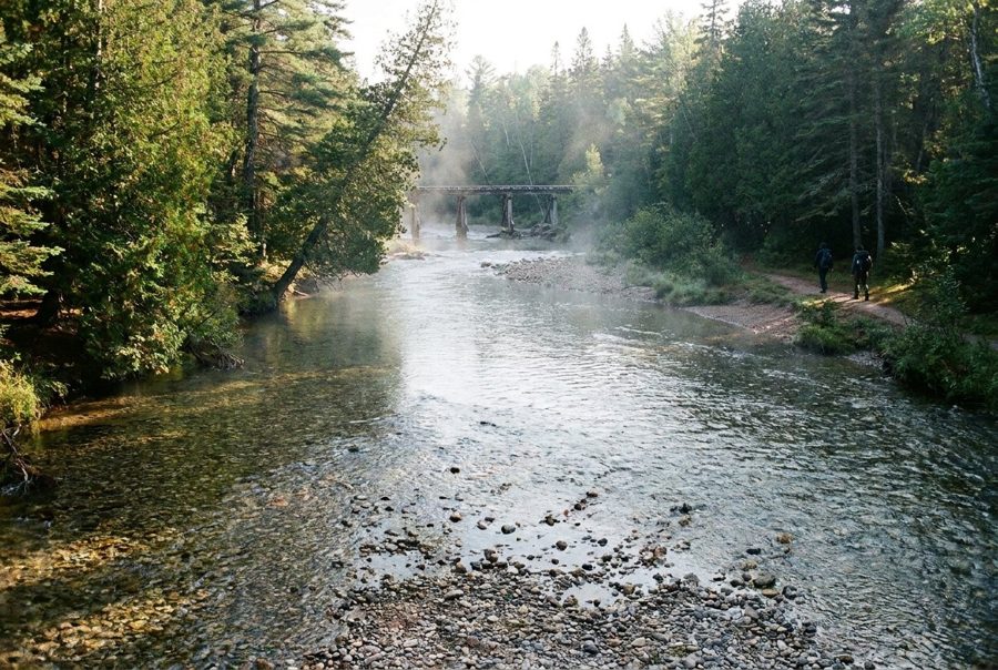
A short drive off M-72 brings you to the main Au Sable at a state access east of Grayling, where the river runs narrow, clear and quick, nothing like the wide water at Oscoda.
Downtown Grayling, where the race to Oscoda begins
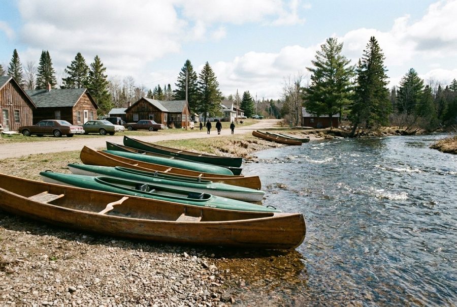
Grayling sits right on the main Au Sable. Walk a few blocks from the main street and you reach the water where the canoe marathon starts its long race to Oscoda each summer.
In the short day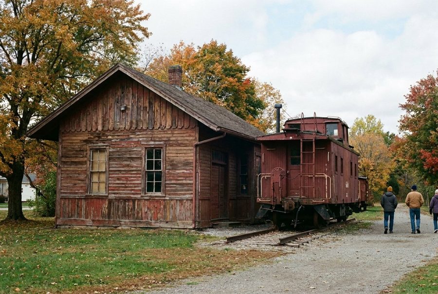
The old depot that holds Crawford County's past
A few blocks from the river, Grayling's restored 1882 railroad depot now holds the county historical society's museum, with rooms on the railroad, the logging years and early settlement.
In the short day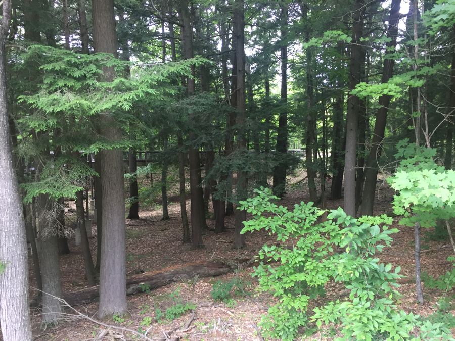
The old-growth pines at Hartwick Pines
North of Grayling, a 49-acre stand of white pine survives from the forest that once covered this country, on an easy trail from the Michigan Forest Visitor Center.
In the short day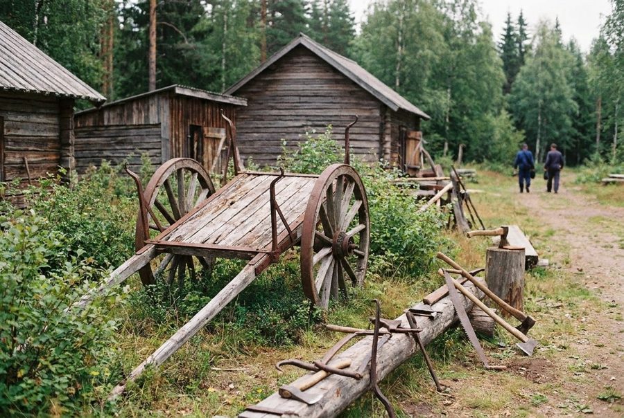
A logging camp beside the trees it would have cut
Along the Old Growth Forest Trail at Hartwick Pines, two log buildings put up by the Civilian Conservation Corps recreate the camps where Michigan's pine loggers lived and worked.
In the short day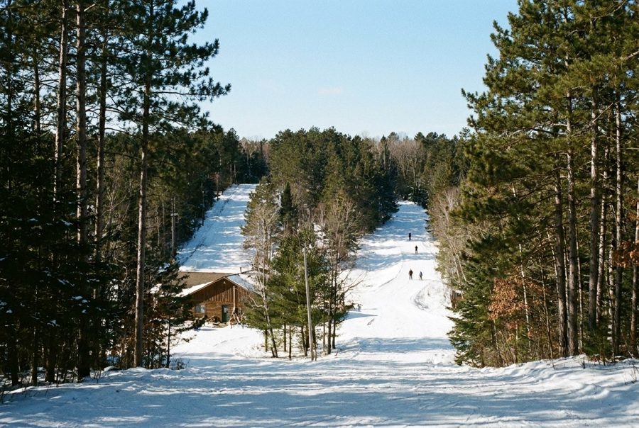
Hanson Hills, where Michigan first skied downhill
On the west side of Grayling, a small hill on land left by a lumberman became Michigan's first downhill ski area in 1929, and it still has trails for every season.
In the short day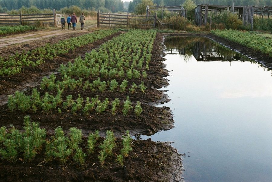
The museum of the men who replanted Michigan
South of Grayling, on the grounds of a nursery that once grew seedlings by the millions, a state museum tells how the Civilian Conservation Corps put trees back on the cutover north.
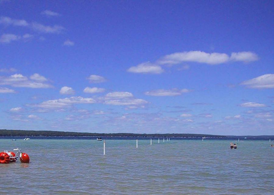
North Higgins Lake, a clear lake to end the day
The Grayling tour ends on the north shore of Higgins Lake, a large, clear inland lake, at a state park with a beach, forest trails and a fieldstone lodge built by the CCC.