The Mason Tract, a riverbank left to the river
The first stop of the Grayling tour is a long, wild stretch of the South Branch of the Au Sable, kept free of building since 1954, with a small wooden chapel above the water.
- ALLOW
- About 45 minutes to an hour
- FROM OSCODA
- About 1 hour 25 minutes west
- PARK OR STAND
- The pathway trailhead lot off M-72 near Canoe Harbor
- NEXT LEG
- About five miles west on M-72 to Wakeley Lake
- BEST MONTHS
- June to mid-October
- BRING
- Walking shoes, insect repellent, water, printed map
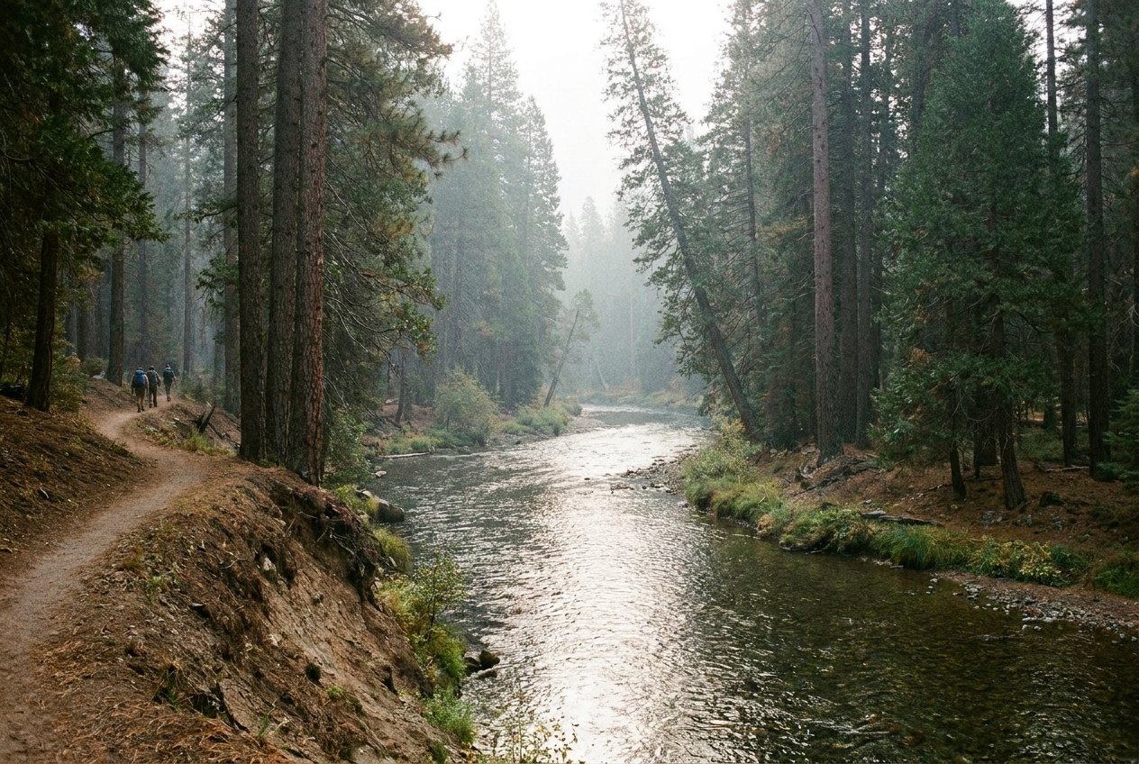
After more than an hour of driving west from Oscoda, the first stop asks you to slow down. The South Branch of the Au Sable runs north here through cedar, pine and hardwood, and for several miles nobody is allowed to build beside it. That is the Mason Tract, and it is the reason this stretch looks much as it did when anglers first came to it.
A family gift on the South Branch
George W. Mason was a Detroit industrialist who fished this river and cared about keeping it wild. In 1954 his family gave the state 1,500 acres along the South Branch, and the land has been protected ever since. More land was added over the following decades, and the protected tract now covers about 4,493 acres. There are no cottages on the banks, and camping is allowed only at the Canoe Harbor state forest campground, not along the river.
The result is one of the longest stretches of undeveloped trout stream in the state. The water is clear and fast over sand and gravel, and you are as likely to see a deer or a heron as another person.
The chapel above the river
The Mason Chapel was built in 1960 on the east bank of the South Branch. It is small and simple, and it was meant as a place of reflection for anglers rather than as a parish church. Its setting, above moving water in deep forest, suits that purpose and the quiet of the whole tract.
The chapel is reached by sand forest roads east of the river, and the roads can be soft after rain or in dry summer spells. Paddlers on the South Branch pass below it. Check a current map before you set off, and do not take a low car down a road that looks deep.
04ALSO WORTH THE DETOUR · River Road and the six Au Sable dams · stop 4Canoer's Memorial and the marathonWalking a stretch of the pathway
The Mason Tract Pathway follows the river between M-72 and Chase Bridge, a walk of roughly nine miles end to end. You do not need to do all of it. From the M-72 end, half an hour out and back is enough to reach the water, hear the current and see how the river bends between high and low banks. The trail is mostly level, but roots and sand make good shoes worthwhile. In winter the pathway is used for cross-country skiing when there is snow.
The South Branch is fished hard in season, and parts of it are under special regulations. Check the current Michigan fishing guide before you cast. Back on the tour page, the Grayling tour explains how this stop fits into the day.
Timing the first stop of a long day
Give this stop about 45 minutes to an hour, longer if you want to find the chapel. Late spring and early summer bring insect hatches on the river and, with them, mosquitoes and black flies, so bring repellent. Autumn colour in early October is the gentlest time to walk. In winter the trailheads are not always plowed.
The Mason Tract is not part of the five-stop short day, which starts in Grayling itself. From here the tour heads about five miles west on M-72 to Wakeley Lake, another place you have to reach on foot.
Every photograph here is credited, with its licence, on who took the photos.