Parmalee Bridge and the stairs to the river
Between Luzerne and Lewiston, a small state forest campground sits above the main Au Sable, with a set of stairs leading down to a carry-in launch on cold, clear trout water.
- ALLOW
- About 30 to 45 minutes
- FROM OSCODA
- About 1 hour 20 minutes west
- PARK OR STAND
- The state forest campground parking area above the river
- NEXT LEG
- West by county roads and M-72 to McMasters Bridge Road
- BEST MONTHS
- Late May to early October
- BRING
- Sturdy shoes for the stairs, water, insect repellent
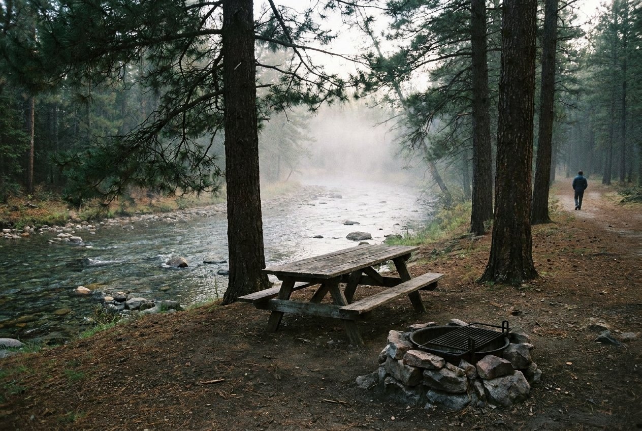
West of Mio the land opens into rolling pine and small farms, and the river drops out of sight for a while. To find it again, turn off near Luzerne and work north on county roads to Parmalee Bridge. Just upstream of the crossing, a state forest campground sits above the main Au Sable, and a set of stairs takes you down to the water.
A state forest camp above the bridge
Parmalee Bridge State Forest Campground is run by the state as a rustic campground and river access. It lies on the main stream of the Au Sable, between the small communities of Luzerne and Lewiston, in country that is mostly state forest, private cabins and long stretches of river with no road beside it.
State forest campgrounds like this one are deliberately simple. Expect sites under the trees, a parking area and basic facilities rather than a developed park. Rules, season and any camping charges are set by the state, so check them before you go.
The setting is the reason to stop. The campground sits on higher ground above the river, and from the top of the stairs you look down through the trees to moving water. On a still morning you hear the river before you see it, and mist often lies along the surface after a cold night in late summer and autumn.
Down the stairs to the water
The carry-in launch is about 100 yards from the parking area, down a set of stairs. Paddlers carry canoes and kayaks down to put in; everyone else can simply walk down and stand at the river's edge. The water here is the upper Au Sable at its most typical: clear, cold, quick over gravel and sand, with downed timber along the banks that gives trout somewhere to hide.
02ALSO WORTH THE DETOUR · Grayling and Hartwick Pines · stop 2Wakeley Lake, where you leave the car behindTake the stairs slowly, especially coming back up, and wear shoes with grip. After rain, and in spring and autumn, they can be slick.
When to come and how long to stay
Give Parmalee thirty to forty-five minutes, enough to walk down, watch the river and climb back up. Late spring and summer are busiest, with paddlers and anglers on the water and campers in the sites. Early autumn is quieter and the colour is good. In winter the roads in may be snowy and the campground is not a place to count on.
Parmalee Bridge is not in the short day. It belongs to the longer, upstream half of the tour, where the drives get longer and the river gets wilder.
One bridge farther up
You reach Parmalee from Camp Ten Bridge at the head of Mio Pond. Next, head west by county roads and M-72 to McMasters Bridge Road and the state launch at McMasters Bridge, the farthest point of the tour. The full order of stops is on the Mio and upper river tour page.
Every photograph here is credited, with its licence, on who took the photos.