Five Channels Dam
The second dam on the Au Sable takes its name from a braid of river that disappeared under its pond, and the ground around it is a listed archeological district.
- ALLOW
- About 20 to 30 minutes
- FROM OSCODA
- About 40 minutes west
- PARK OR STAND
- The small public area near the dam, off River Road
- NEXT LEG
- A few miles west to M-65 and Loud Dam
- BEST MONTHS
- June to October
- BRING
- Camera, insect repellent in summer, a printed map
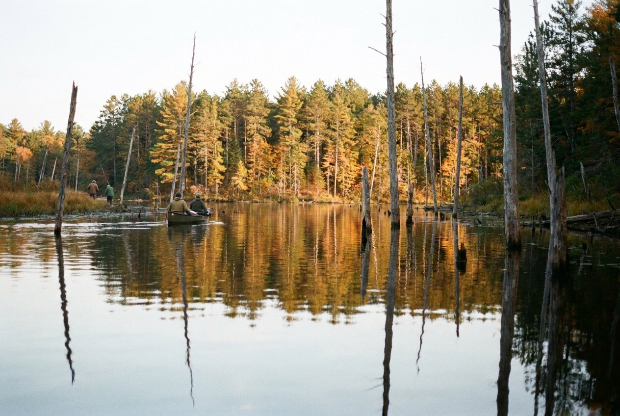
Past Iargo Springs, River Road runs on through quieter forest, and the stops grow farther apart. The turn for Five Channels Dam comes up off River Road, and a short drive brings you down to the river again. It is the least visited of the six dams on this tour, and that is part of its appeal.
The river that split five ways
The name is older than the dam. Before 1912 the Au Sable here divided into five separate channels as it wound through the valley, and the spot was known by that feature. When the power company built its second plant on the river, it kept the name, and the channels disappeared under the new pond.
Five Channels was completed in 1912, a year after Cooke, as the second of the six dams. The plant is rated at 6 MW and is still in use. The land around it carries a different kind of history too: the Five Channels Dam Archeological District was listed on the National Register of Historic Places in 2002, a reminder that people lived and worked along this river long before anyone thought of damming it.
What to look for
From the public area near the dam you see the powerhouse, the spillway and the pond stretching upstream into the forest. The pond above the dam is a quiet sheet of water with wooded shores, and on still mornings it is easy to picture the channels that once wandered across this valley floor. Below the dam the river runs faster, and anglers sometimes fish the tailwater.
Because this is a working plant, stay out of fenced areas and keep back from the edge of the water near the spillway, where currents can change suddenly.
01ALSO WORTH THE DETOUR · Huron National Forest trails · stop 1Eagle Run, the river loops at the edge of townWhen to come, and how long
Twenty to thirty minutes is usually enough. Summer evenings are calm and good for photographs, though insects can be thick near the water in June and July. Early October puts colour along the pond. The access road is a side road, so in winter check conditions before relying on it; the main River Road stays open.
Five Channels Dam is not part of the short day. It belongs to the longer upstream half of the tour, and if you are pressed for time this is the stop to drop. If you have the whole day, though, it fills an important gap: with Cooke behind you and Loud ahead, you are now seeing the dams in the order they were built. By the time you leave, you have seen the first two plants ever put on the river, and the next stop is the third.
Upriver to M-65
You come here from Iargo Springs, the last of the bluff stops. Next on the River Road tour is Loud Dam, a few miles farther west where M-65 crosses the river at the western end of the byway.
Every photograph here is credited, with its licence, on who took the photos.