Negwegon State Park
The wildest stop on the tour: thousands of acres of forest and a long empty beach at the south end of Thunder Bay, reached by a sand road and protected for its dark skies.
- ALLOW
- One to three hours
- FROM OSCODA
- About an hour north
- PARK OR STAND
- The day-use lot at the end of the access road
- NEXT LEG
- About 30 minutes west and south to Hubbard Lake
- BEST MONTHS
- June to early October
- BRING
- Water, bug spray, sturdy shoes, Recreation Passport, map
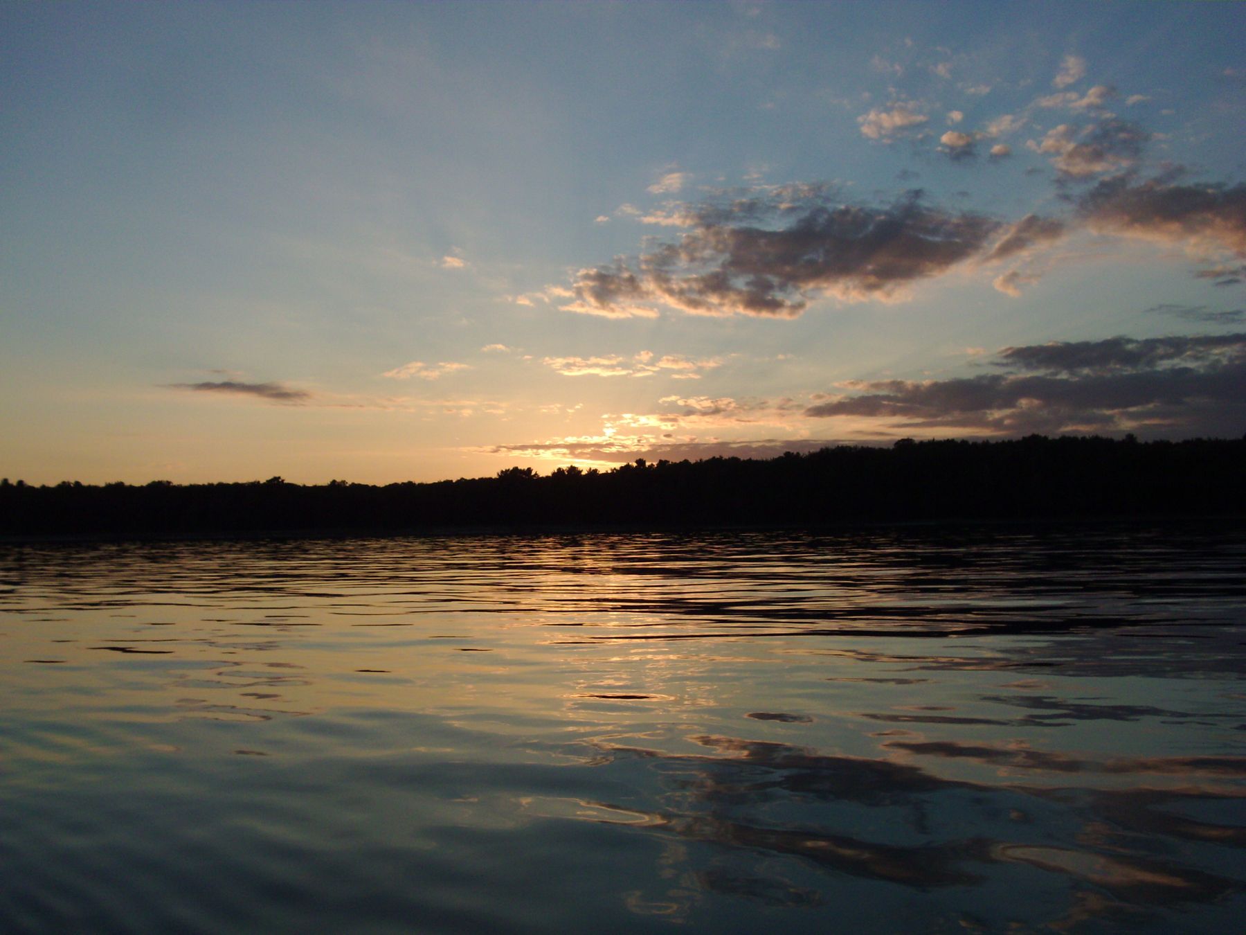
Negwegon is what the whole shore might look like if the cottages had never come. There is no paved road in, no town nearby and little in the way of facilities, just forest, a sand beach that runs for miles and the open water of Lake Huron at the south end of Thunder Bay. It is the eighth stop, and the place where you are most likely to have a beach to yourself.
A state park left undeveloped
The land was bought by the state in 1962 and was first called Alpena State Park. In 1970 it was renamed Negwegon, after an Ojibwe chief, and it has been kept largely undeveloped ever since. At about 4,118 acres it is a large park, and most of it is forest, wetland and shoreline with no buildings at all.
About 11 miles of trails wind through the park, along the shore and back into the woods, and backcountry camping is allowed for those who carry in what they need. In 2016 the park was named a Michigan dark sky preserve. With no towns nearby and the lake to the east, the night sky here is very dark, and on clear nights the stars over Thunder Bay are a sight in themselves.
The beach and the trails
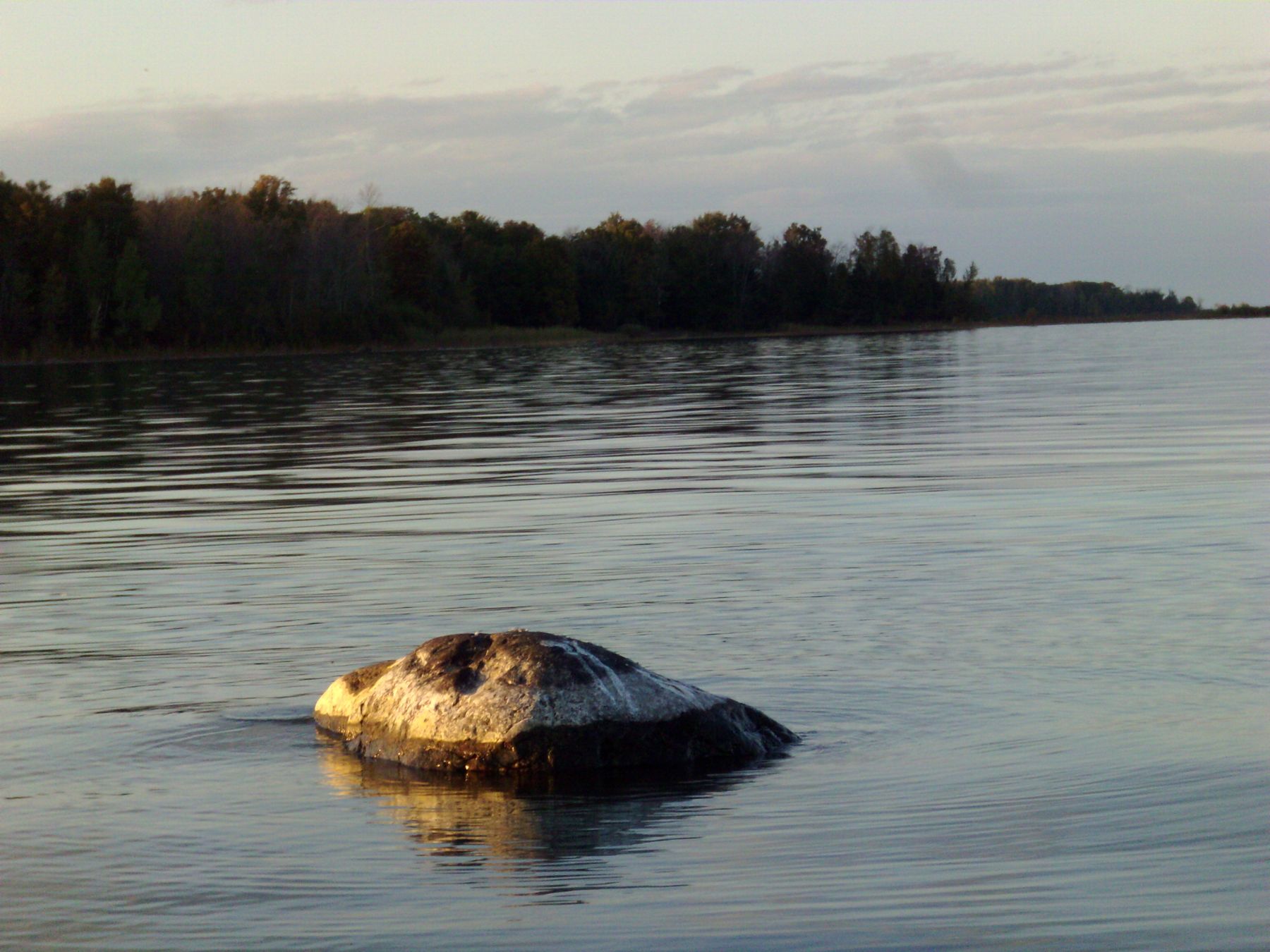
The beach is the main event. From the day-use area, walk down to the shore and pick a direction; the sand stretches along the bay, with boulders resting in the shallows and low forest behind. On calm evenings the water goes still and silver, and the view north across the bay is wide and empty.
10ALSO WORTH THE DETOUR · Alpena and Thunder Bay · stop 10Thompson's Harbor, the wild end of the roadThe trails are good for a longer visit. They are mostly flat but can be sandy, wet or overgrown in places, and mosquitoes and flies can be fierce in early summer. Carry water, wear proper shoes and take a map, because phone signal is unreliable and the trails are less marked than in busier parks.
Getting in and staying safe
The access road is sand, and it can be soft, rutted or washed out. A car with high clearance is the safer choice, and after heavy rain or in snow it is best to stay away. A Recreation Passport is needed for vehicles in Michigan state parks; check the current rules before you go. Park in the day-use lot at the end of the road and walk to the beach from there.
Give the park at least an hour for the beach, or two or three if you walk the trails. Summer is beach season, early autumn is often the most pleasant time to hike, and winter is for experienced visitors only, since the road may not be passable. Negwegon is not part of the short day, which turns back at Sturgeon Point, but it is the stop most people remember.
Inland to Hubbard Lake
From Negwegon, retrace the sand road to the pavement and head west and south into the interior of the county. The drive to the east shore of Hubbard Lake takes about thirty minutes on county roads through forest and farmland. On the way you leave the Lake Huron shore behind for the rest of the tour, so take a last look from the beach before you go. The previous stop, the Black River mouth, is only a few miles back if you missed it.
Every photograph here is credited, with its licence, on who took the photos.