Tawas Point State Park, at the end of the sand
The first stop is a 183-acre state park on a spit of sand between Lake Huron and Tawas Bay, with two miles of beach and a trail out to the very tip.
- ALLOW
- About one to two hours
- FROM OSCODA
- About 30 minutes south
- PARK OR STAND
- The day-use lot near the beach and trailhead
- NEXT LEG
- A short walk or drive to the lighthouse grounds
- BEST MONTHS
- Mid-May, September, summer beach days
- BRING
- Binoculars, bug spray, water, sandals for the beach
Tawas Point is the kind of place that changes shape while you watch. Wind and waves keep pushing sand along the shore, and the spit that curls around Tawas Bay has grown and shifted for as long as anyone has been mapping it. At its far end, with Lake Huron on one side and the calm bay on the other, is Tawas Point State Park, the first stop on this tour.
A park built on moving sand
The state authorised the park in 1960 and opened it in 1966. It covers 183 acres and has about two miles of beach, split between the open lake and the sheltered bay side. The bay side is usually the calmer water, which makes it popular with families in summer, while the lake side gets the waves and the wider views.
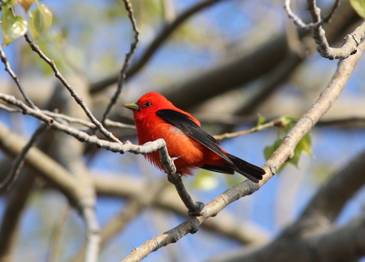
The park's real fame comes from its position. The point sits on the Lake Huron flyway, and birds following the shore north in spring reach the end of the spit and pause before crossing the bay. About 300 migrant species have been recorded here, and the National Audubon Society lists the park as an Important Bird Area. On a good morning in May the low trees near the point can be full of warblers, tanagers and orioles, often close enough to see without much effort.

Walking the Sandy Hook Nature Trail
The Sandy Hook Nature Trail runs from the developed part of the park out toward the tip of the point. It crosses low dunes, sandy openings and patches of shrubs and small trees, the cover that tired migrants use. The ground is flat but soft in places, so shoes that cope with sand help. Stay on the trail where it is marked; the dunes and the plants holding them together are easily damaged, and parts of the shore may be roped off when birds are nesting.
At the end you stand on a narrow tongue of sand with water nearly all the way around. It is one of the few places on this side of Michigan where you can watch the sun come up over the lake and go down over the bay on the same day.
03ALSO WORTH THE DETOUR · Huron National Forest trails · stop 3Tuttle Marsh, a wetland worked for wildlifeHow long, and in which season
An hour lets you walk out to the point and back at an easy pace. Birders in May often stay most of the morning. In summer you may want longer simply for the beach.
- Spring: mid-May brings the peak of the songbird migration and the busiest birding days.
- Summer: swimming and beach walking, with the bay side calmer and warmer-feeling than the open lake.
- Autumn: shorebirds on the flats in late summer and September, then hawks and waterfowl moving through.
- Winter: wind, ice along the shore and very few people.
Michigan state parks need a vehicle pass, and campground and day-use rules change, so check the current details with the state before you go. This stop is part of the five-stop short day; it is the reason many people make the trip at all.
On to the lighthouse
The next stop, the Tawas Point Lighthouse, is inside the same park, a few minutes away on foot or by car. From the lighthouse, the tour heads back along Tawas Beach Road toward East Tawas. For the whole route, see the Tawas Bay tour page. If you are a birder with a full day, the marsh country inland from Oscoda makes a good pairing.
Every photograph here is credited, with its licence, on who took the photos.