Tawas Bay, from the point to the Au Gres
A day down the shore from Oscoda: a sand spit full of migrating birds, a working lighthouse, two bay towns with piers and parks, and the quiet river mouths on Saginaw Bay.
- FROM OSCODA
- About 25 minutes south
- BEST SEASON
- Mid-May and September migration
- GETTING THERE
- South from Oscoda on US-23
- BRING
- Binoculars, beach shoes, a windbreaker, water
Drive south from Oscoda on US-23 and the lake stays on your left most of the way. After about twenty minutes the shore bends, a long finger of sand reaches out into the water, and a wide, sheltered bay opens up behind it. That finger is Tawas Point, and the bay it shelters gives this whole stretch of the Sunrise Side its character: calmer water, two small towns facing each other across a short gap, and a run of public parks, piers and boardwalks laid out along the waterfront.
This tour starts at the tip of the point and works west and south, through East Tawas and Tawas City, then down the shore into Arenac County to finish where the Au Gres River reaches Saginaw Bay.
A bay with a sand spit for a breakwater
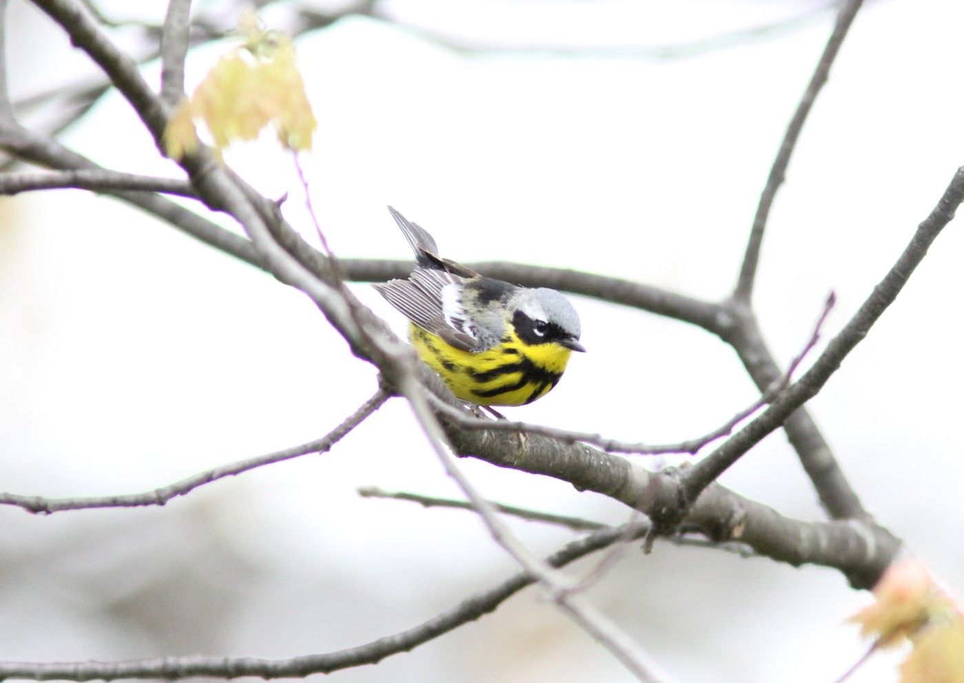
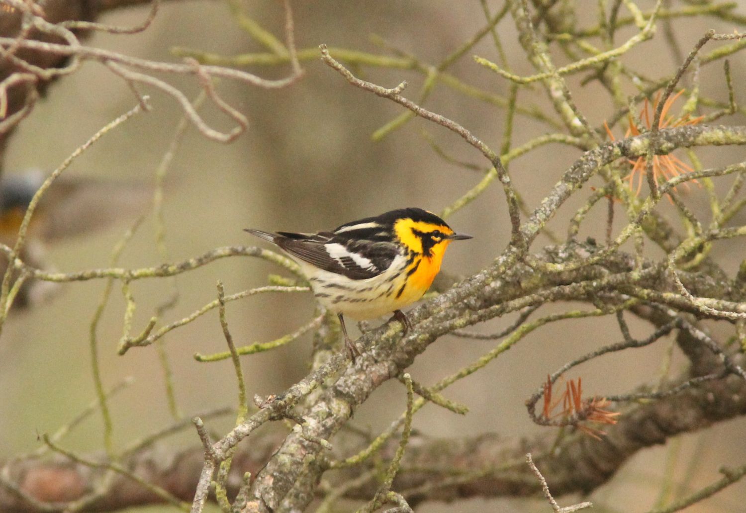
Tawas Point is a hooked spit of sand that wraps around the east side of Tawas Bay. The state park at its tip was authorised in 1960 and opened in 1966, and it has become one of the best-known birding spots on Lake Huron. Birds moving along the shore in spring and autumn reach the end of the point and stop to rest and feed, and about 300 migrant species have been recorded there. The National Audubon Society lists the park as an Important Bird Area.
The point also explains the lighthouse. Shifting sand left the first light, lit in 1853, standing too far inland to do its job, and a new brick tower went up near the end of the spit in 1876 and 1877. Its light still shines over the bay. Behind the point, the two towns grew up on the sheltered water: East Tawas around its harbor and Tawas City, the Iosco County seat, a couple of miles west around the mouth of the Tawas River.
The ten stops in driving order
- Tawas Point State Park, with its beach and the Sandy Hook Nature Trail out to the tip.
- Tawas Point Lighthouse, the 67-foot tower with its keeper's house museum.
- East Tawas State Dock, the harbor of refuge across US-23 from downtown.
- East Tawas City Park, a long groomed beach beside the harbor pier.
- The Iosco County Historical Museum, in a 1903 house next to the city park.
- Shoreline Park in Tawas City, with a boardwalk and an L-shaped fishing pier.
- Veterans Park, a boardwalk along the Tawas River.
- Gateway Park, at the river's mouth on the south edge of Tawas City.
- The Singing Bridge public access, on the East Branch of the Au Gres River.
- The Au Gres Delta Nature Preserve, wetland beside the Au Gres River.
The first two stops sit together at the end of Tawas Beach Road, which leaves US-23 just before East Tawas. Stops three to five are within a short walk of each other on the East Tawas waterfront, so you can leave the car once and see all three on foot. Stops six to eight are in Tawas City, a few minutes west. The last two take you about twenty minutes farther south along the shore, where the land turns flat and marshy and the bay gives way to Saginaw Bay.
04ALSO WORTH THE DETOUR · Tour 4Harrisville, Sturgeon Point and the Alcona shore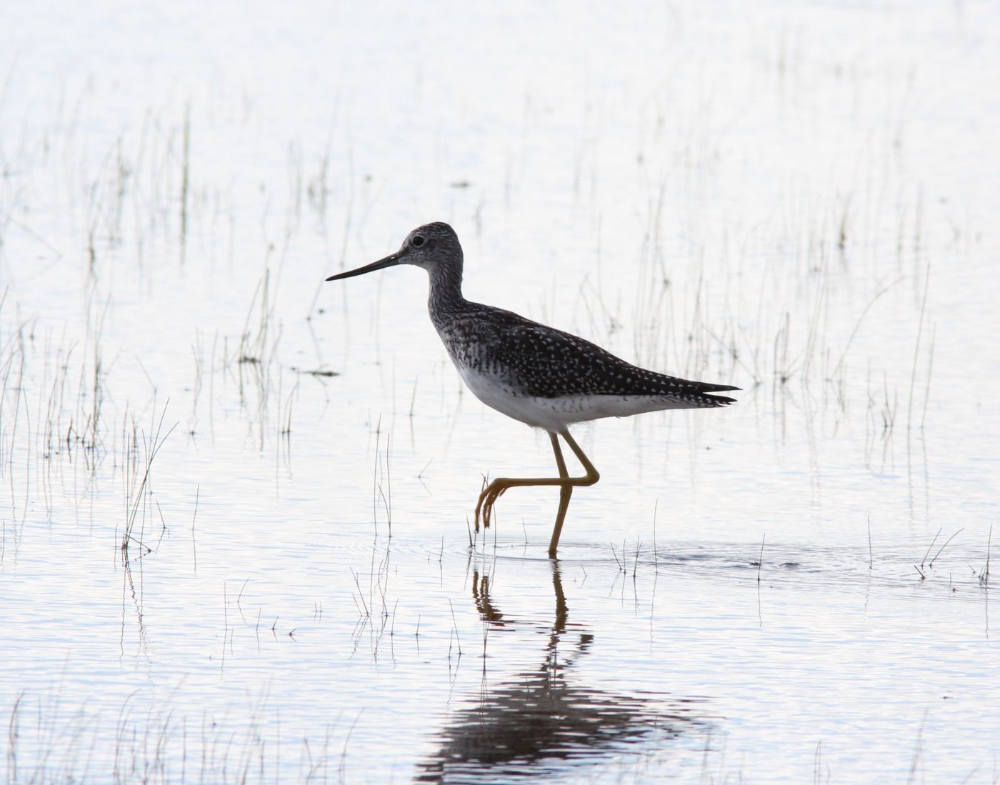
If you only have half a day
Five stops give you the heart of the trip: Tawas Point State Park, the lighthouse, East Tawas State Dock, the Iosco County Historical Museum and Shoreline Park in Tawas City. That covers the point, the harbor, the county's story and the Tawas City pier, all within about half an hour of Oscoda. From Shoreline Park you are back on US-23 heading north in a minute, and home in a little over half an hour.
The short day works well as a morning. Walk the point while the light is low and the birds are active, see the lighthouse, then drift into East Tawas for the harbor and the museum before ending on the Tawas City pier.
The short day works well as a morning.
Migration months and beach months
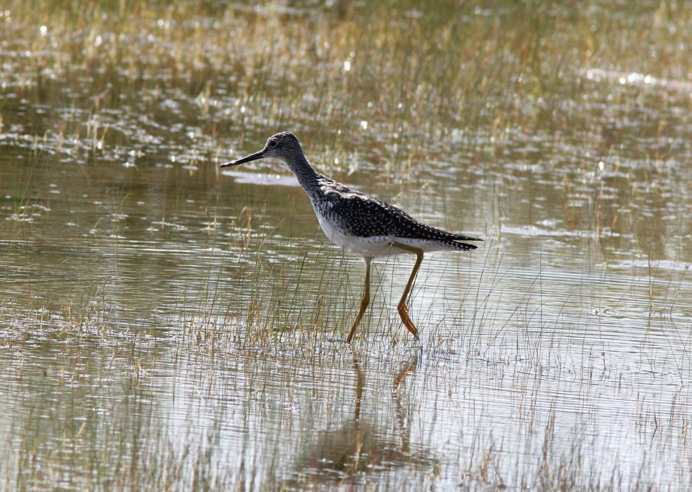
Mid-May is the high point for birders, when warblers and other songbirds pour along the point, and the park can be busy with people carrying long lenses. September and early October bring shorebirds and the autumn movement of hawks, ducks and songbirds, with fewer visitors. July and August belong to the beaches: the sheltered bay is usually calmer than the open lake, and the East Tawas beach and the Tawas City boardwalk are at their liveliest.
Winter is quiet but not closed. The piers and harbor views are there all year, though ice and snow make boardwalks slippery, and the museum and lighthouse keep seasonal hours, so check before you go. Michigan state parks need a vehicle pass; check the current rules before you drive out to the point.
The drive down and the drive home
From the US-23 bridge over the Au Sable in Oscoda, follow US-23 south past the Iosco County shore. The turn for Tawas Beach Road and the point comes after about twenty minutes, and East Tawas is just beyond. Tawas City follows a couple of miles on, and the Au Gres stops are another twenty minutes south. The full tour takes most of a day with time to walk the point.
From the Au Gres Delta, the way home is simply north on US-23 the whole way, back through Tawas City and East Tawas, a drive of about fifty minutes. If you started early and still have light, stop again at the East Tawas beach on the way past, or carry on north of Oscoda to the shore at Huron Sunrise Park.
Every photograph here is credited, with its licence, on who took the photos.
The ten stops
In the order you reach them.
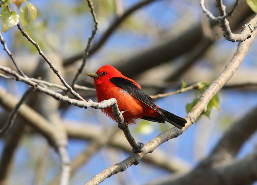
Tawas Point State Park, at the end of the sand
The first stop is a 183-acre state park on a spit of sand between Lake Huron and Tawas Bay, with two miles of beach and a trail out to the very tip.
In the short day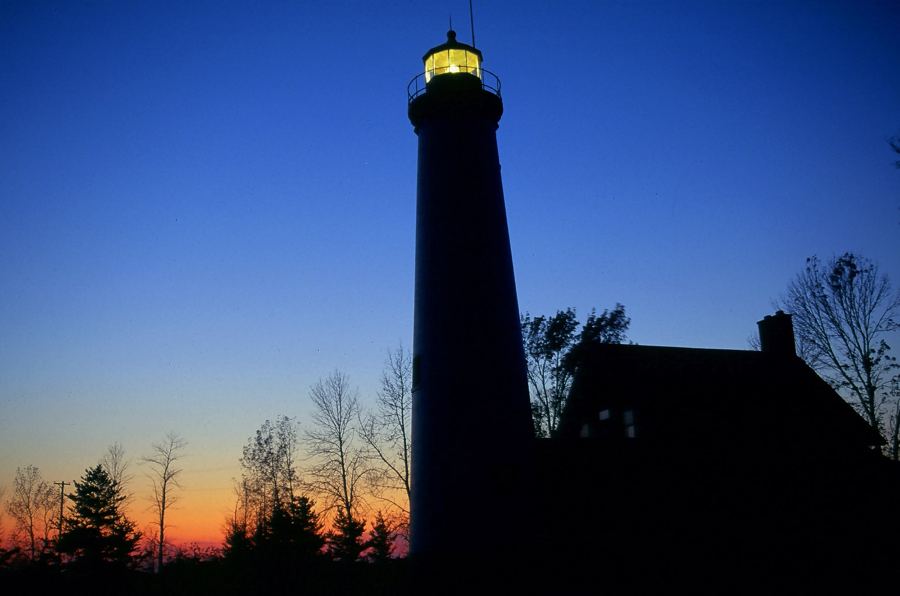
Tawas Point Lighthouse, still lit after the sand moved
The second light on the point went up in 1876 and 1877 because the first one ended up too far from the water. Its old lens still shines over Tawas Bay.
In the short day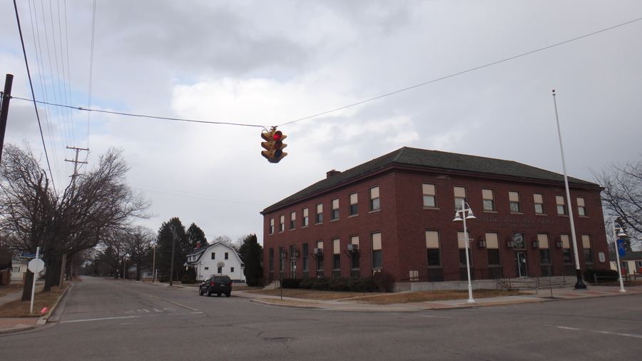
East Tawas State Dock, the town's harbor of refuge
Across US-23 from downtown East Tawas, the state-run harbor shelters boats from the open lake and draws gulls, ducks and the people who watch them.
In the short day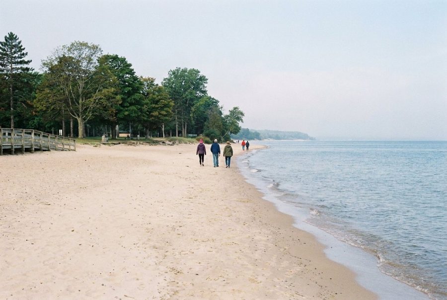
East Tawas City Park and its long bay beach
In the middle of East Tawas, the city's park runs along about 1,600 feet of groomed beach beside the harbor pier, facing the calm water of Tawas Bay.
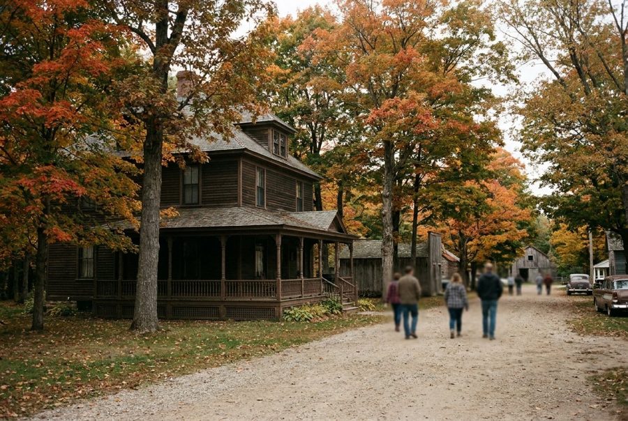
The Iosco County Historical Museum and the Hawks house
Next to East Tawas City Park, a house built in 1903 for a railway president now holds the county's museum, the place to learn how this stretch of shore came to be.
In the short day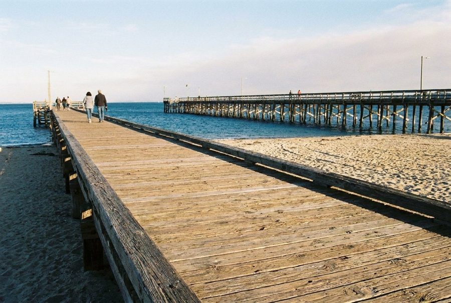
Shoreline Park and the pier in Tawas City
In the Iosco County seat, a waterfront park beside the town square offers a beach boardwalk and a fishing pier that was lengthened into an L in 2021.
In the short day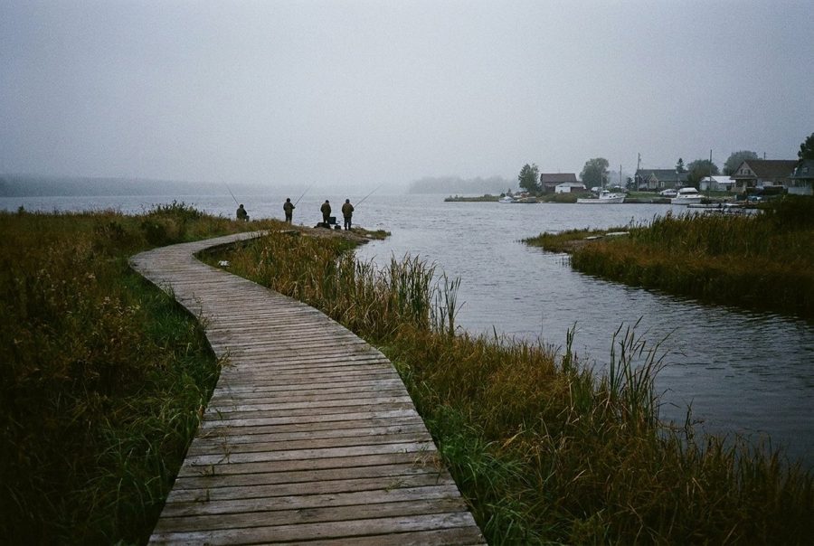
Veterans Park on the Tawas River
Away from the bay, a small Tawas City park lines the Tawas River with a fishing boardwalk, a quiet pause between the busy waterfront and the river mouth.

Gateway Park, where the Tawas River meets the bay
On the south edge of Tawas City, a 13-acre park at the mouth of the Tawas River has a long lighted fishing pier and a record of more than 100 bird species.
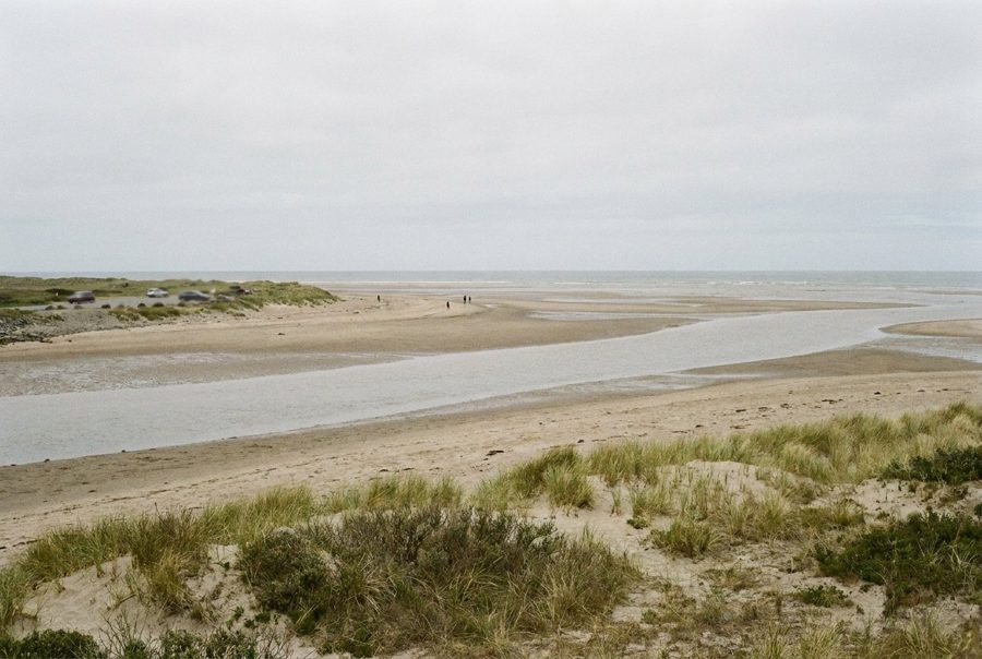
The Singing Bridge, where the shore turns to Saginaw Bay
South of the Tawas towns, a state public access with a big parking area looks over the mouth of the East Branch of the Au Gres River and the shallow water of Saginaw Bay.
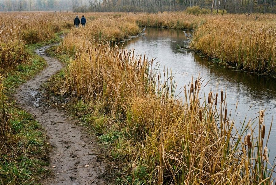
The Au Gres Delta Nature Preserve, at the end of the road
The tour ends in the small city of Au Gres, at a riverside preserve of wetland and recovering prairie on the west shore of Saginaw Bay, far from the beach crowds.